The Kiso-ji, the section of the old Nakasendo that runs along the Kiso River, is roughly 70km long and was lined by 11 post stations during the Edo period. Most foreign coverage tells you to walk one of them, the 8km between Magome and Tsumago. This guide is for the other reader: the one with a rental car, two days, and a wish to see the whole chain instead of a single sample.
I’ve driven the loop three times now in three different seasons: late June (deep green, almost no traffic), mid-October (peak foliage, busier than I expected), and a stupid attempt in early March (still snow on R361, a chastening lesson). The driving piece is the right way to do this if you want any of the central or northern post stations, the Akasawa hinoki forest, the Ne-no-Toko gorge, or the Kaida-Kogen plateau in the same trip. None of them line up nicely with the JR Chuo Line timetable.
What you trade for the freedom is the Magome-Tsumago hike itself. You can still do it as a there-and-back, with the car parked at one end and a return bus, but the classic point-to-point is awkward in a single vehicle. There’s a workaround for that, covered later. For now, the route.
In This Article
- The route in one paragraph
- Why drive this rather than ride the train
- Day 1: Matsumoto down to Kiso-Fukushima
- Narai-juku, the first stop
- Yabuhara and the Torii Pass
- Into Kiso-Fukushima
- Where to overnight in Kiso-Fukushima
- What to eat in Kiso-Fukushima
- Side trip from Kiso-Fukushima: Kaida-Kogen and Mt Ontake
- Side trip from Kiso-Fukushima: the Akasawa hinoki forest
- Day 2 morning: south to Agematsu and the Ne-no-Toko
- Lunch in Agematsu: the trout
- Atera Gorge: the optional detour
- Tsumago: the buried-cable village
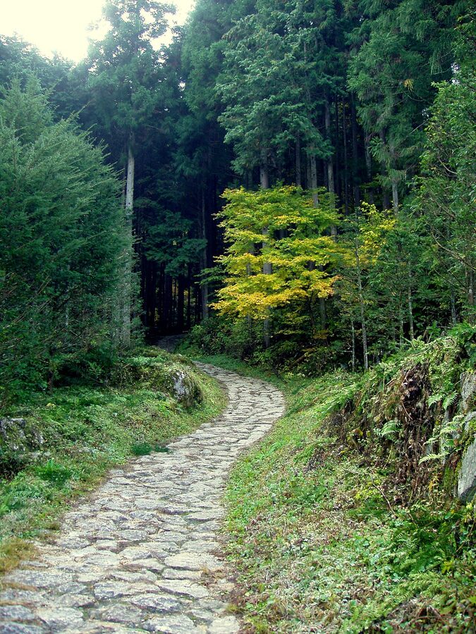
- The Magome-Tsumago hike, with a car
- Magome: the upper post-town
- Gohei mochi: the local pilgrimage food
- Nakatsugawa: where you’ll either turn round or carry on
- R19 vs R361: the loop options
- Snow tyre considerations: late November to mid-April
- Practical timings and the standard 2-day plan
- Onward connections
The route in one paragraph
Pick up the car in Matsumoto or Nagoya. Drop south on Route 19, the trunk road that follows the Kiso River through every post town. Stop at Narai-juku first if you came in from Matsumoto, then Kiso-Fukushima for the night, with side trips up to Kaida-Kogen and the Akasawa forest. Day two: drop further south to Agematsu for the Ne-no-Toko gorge and Atera, then Nojiri, Tsumago, and Magome. Pick up either R361 back over the pass to Matsumoto or carry on to Nakatsugawa and the Chuo Expressway home. That’s the loop. Total drive time, without stops: about 4 hours one way on R19, six hours if you do the alternative loop via R361. With stops: two full days, comfortably.
Why drive this rather than ride the train
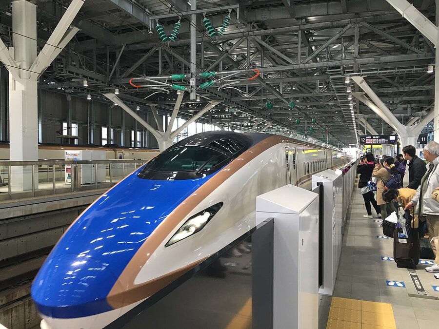
If your only goal is Magome and Tsumago, take the train. Limited Express Shinano gets you to Nakatsugawa in 50 minutes from Nagoya, the Magome bus runs hourly, and the trail starts a few hundred metres from the village square. You don’t need a car for that.
You do need a car if you want any of the following: the Akasawa hinoki forest north of Agematsu (the bus runs only April through early November, twice a day, and it’s a 45-minute ride from Kiso-Fukushima station each way); Kaida-Kogen and the Ontake viewpoint at the head of the valley (no public transport at all, except an infrequent bus from Kiso-Fukushima in summer); the Atera Gorge from Nojiri (technically reachable by station and a 3.5km walk in but you’ve blown half your day); and any flexibility about overnighting outside Kiso-Fukushima or Nakatsugawa.
The other reason: you can stop. Anyone who’s done R19 will recognise the moment when the road drops down into the gorge below Agematsu and you simply want to pull over. Trains don’t pull over.
Day 1: Matsumoto down to Kiso-Fukushima
Pick the car up at Matsumoto Station from one of the rental counters in the JR concourse. Toyota Rent-A-Car, Nippon Rent-A-Car and Times all have desks there, and the all-day rate for a compact in May 2026 sat between ¥6,800 and ¥9,500 depending on operator. Add the ¥1,650 Akasawa Forest parking and a tank of fuel (about ¥6,000 for the loop) and you have your transport budget.
From Matsumoto IC join the Nagano Expressway south for 14 minutes, exit at Shiojiri and drop onto R19 heading south. The first hour is dull: prefab sheds, tyre dealers, the kind of post-industrial sprawl that surrounds every Japanese rural junction. Past Shiojiri the road tightens and starts to climb, and you’ll see the brown directional signs for the first proper post-station: Narai-juku.
Narai-juku, the first stop
Narai is administratively part of Shiojiri City, which is why it gets folded into the broader Shiojiri travel guide rather than treated as standalone, and there’s a deeper standalone Narai-juku guide for those who want only the post-town itself. But for the driving loop it’s the natural first stop. Pull off R19 at the brown sign for Narai-juku and follow it across the river into a small free public car park (Marushige-cho lot, free during the day, attended in summer). From there it’s a 5-minute walk to the south end of the post-town’s main street.
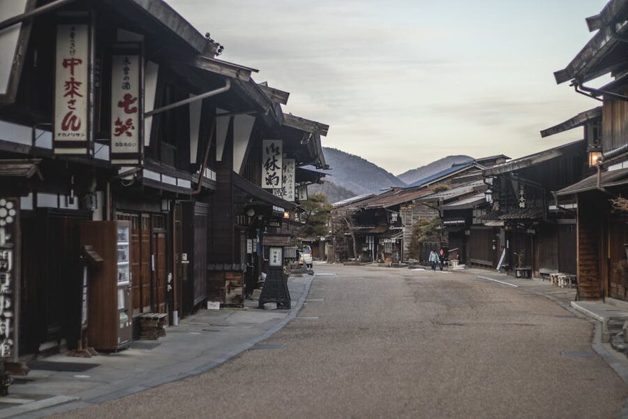
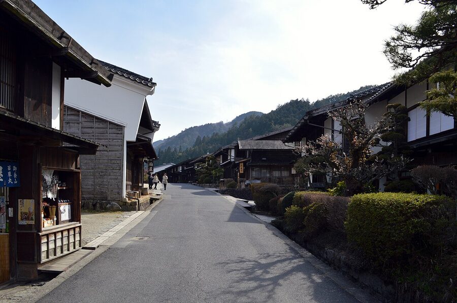
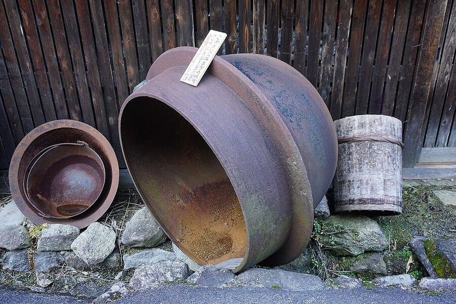
What makes Narai different from Magome and Tsumago: it’s the longest preserved post-town on the Nakasendo, about 1km end to end, and it was the wealthiest. The Naraikawa-juku and Kiso-Hirasawa lacquerware industries kept the village rich enough that the merchant houses are noticeably grander, with deeper eaves and broader fronts than further south. You can walk the whole thing in 30 minutes and stop in any of the lacquer workshops. Do not skip the Tezuka Family Residence at the south end. ¥300, ten minutes, completely silent inside, and you’ll see how a wealthy 18th-century inn-keeper lived without a single anachronistic intrusion.
Allow 90 minutes here, including a coffee at one of the converted machiya cafes (Marukame-no-mori and Tsuchiya were both open in 2026). Back in the car by lunch.
Yabuhara and the Torii Pass
South of Narai, R19 climbs over the Torii Pass through a long tunnel and drops into Yabuhara, the next post-town on the chain. Most drivers blow straight through. They shouldn’t. Pull off into the village (free parking by the station) and walk the old slate-paved lane just east of the tracks. Yabuhara was the head of the Nakasendo’s Torii Pass crossing, and the small Mineyaki tea-bowl kiln still operates. Half an hour, no more, and you’ve ticked another post-station off the list.
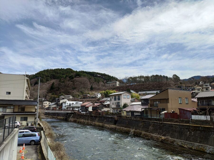
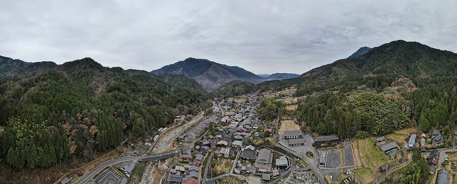
Into Kiso-Fukushima
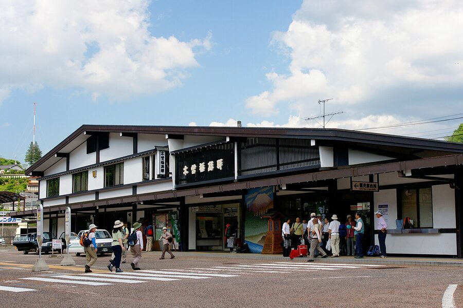
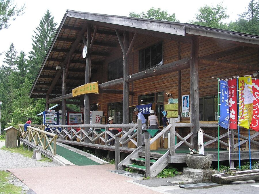
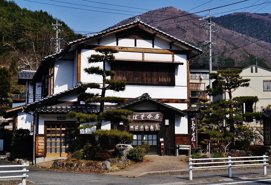
From Yabuhara it’s another 25 minutes south on R19 to Kiso-Fukushima. This is the central town of the valley, much bigger than the preserved post-stations on either side, and it’s where you’ll overnight. The town has a properly restored old quarter (the Kami-no-dan, on the slope above the river), a working Edo-period checkpoint reconstruction (Fukushima-sekisho, ¥300, closes at 16:30), and the Yamamura House samurai residence.
Park at the municipal lot behind the station (¥500 per 24 hours) and walk in. The whole old town is on foot.
Where to overnight in Kiso-Fukushima
The headline ryokan is Onyado Tsutaya. It sits on the slope above the river in a 100-year-old building, has eight rooms, and books out months in advance for autumn weekends. Two-meal rate in May 2026 was ¥28,600 per person, which is on the high side for the region but consistent with what you get: regional kaiseki using Kiso ingredients, a private cypress bath, and a host who’ll explain every dish in slow, careful English if asked. Plain Booking.com URL here for the affiliate pass: Check Onyado Tsutaya availability on Booking.com.
If Tsutaya is full or above budget, the local Tsutaya group also runs a sister ryokan, and there are two adequate business hotels by the station (Kiso Mikawaya and Kiso Onsen Ryokan Komanoyu). For the cheapest defensible option, the municipal-run Kiso Lodge near the bus terminal goes for around ¥7,800 with breakfast. Magome and Tsumago have more atmospheric ryokan, but for the driving loop you want to be central, and Kiso-Fukushima is central.
What to eat in Kiso-Fukushima
The local soba is sansai (mountain vegetables), heavy on warabi fern, kogomi, and koshiabura, dressed with a slightly thicker dipping broth than further north. Kurosawa Soba on the Kami-no-dan slope serves the version most locals point to, ¥1,400 for a full set. Booked is wise on weekends. The smaller Tamaya, two doors down, opens for lunch only and runs out of stock by 13:00.
For dinner if you’re not on a ryokan plan, Kura is the safe bet: izakaya cooking with the local hochiku-rikishi sake brewery’s range, in a converted storehouse on the river side of the tracks. Two people will eat well for ¥6,000 with a bottle of cold junmai.
Side trip from Kiso-Fukushima: Kaida-Kogen and Mt Ontake
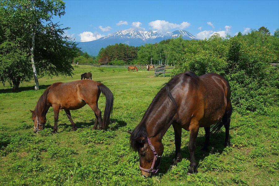
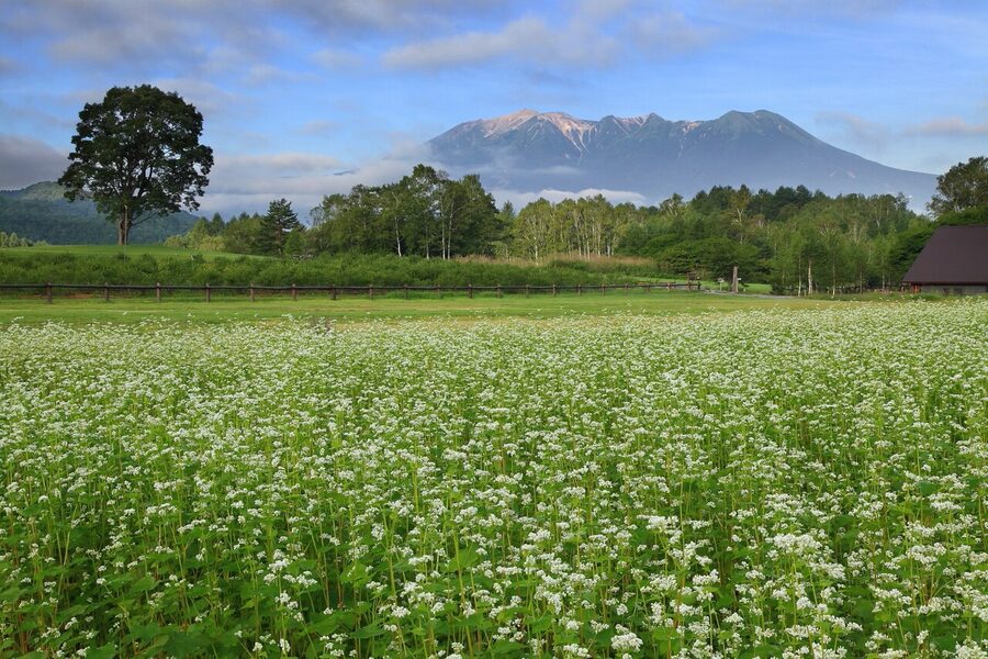
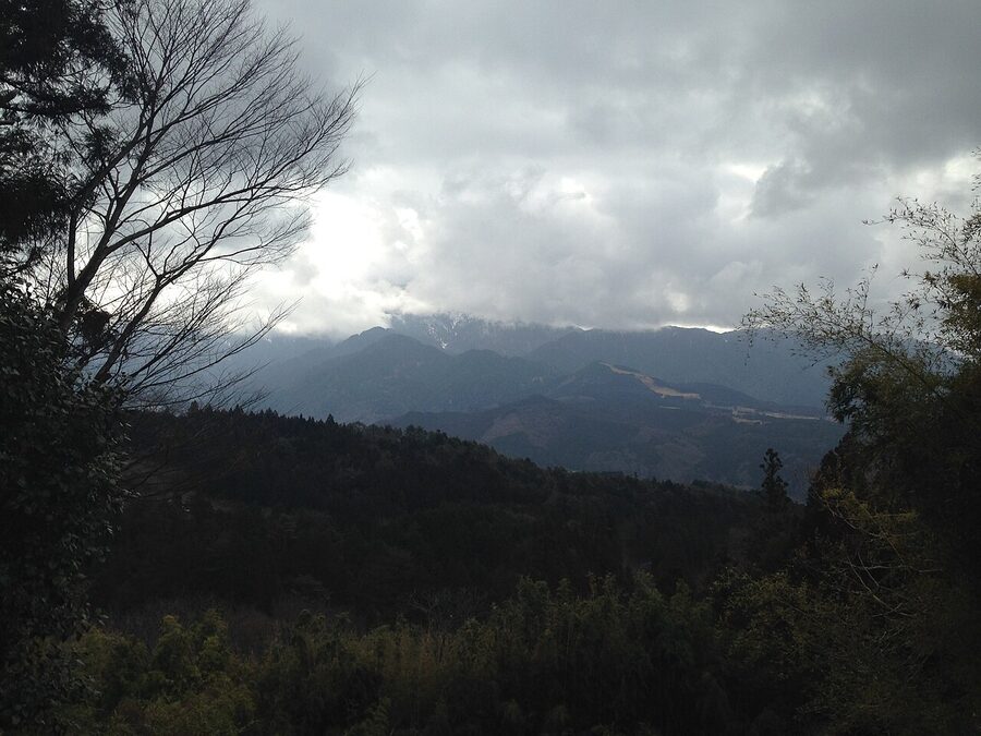
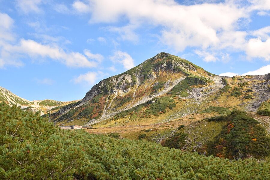
If you have a half-day spare from Kiso-Fukushima, drive west on R19 then turn north on the prefectural 20 route through to Kaida-Kogen. It’s a 45-minute drive each way and gives you the cleanest sustained view of Mt Ontake, the 3,067m active volcano that towers over the western side of the valley. The plateau is a working soba-buckwheat region; in mid-September the white blossom against the dark cone is the photograph everyone tries to take, and most fail.
Side trip from Kiso-Fukushima: the Akasawa hinoki forest
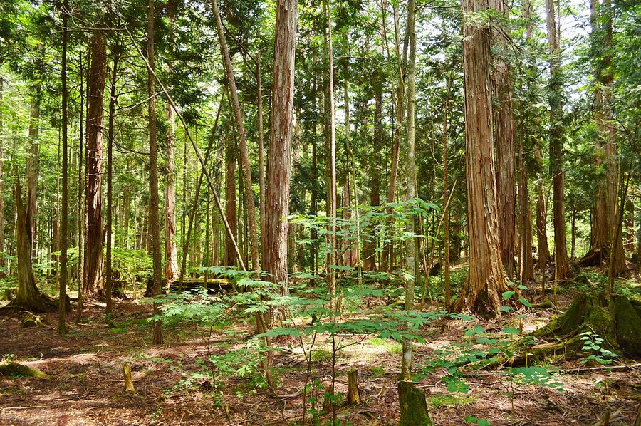
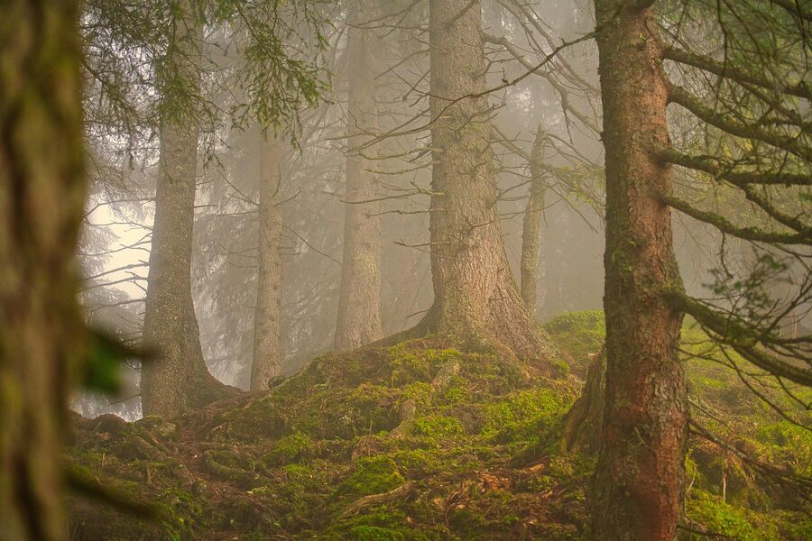
Half an hour south of Kiso-Fukushima on R19, then 15 minutes east on the prefectural 473 from Agematsu, lies one of the country’s three best-preserved old-growth forests. Akasawa-Shizen-Kyuyorin: the Akasawa Natural Recreation Forest. The hinoki cypress here have been protected since the early Edo period, the trees can pass 600 years old, and the forest is the original birthplace of the Japanese forest-bathing concept. Shinrin-yoku was coined here in 1982.
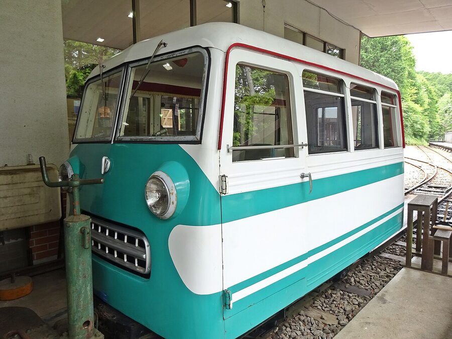
Practical: the road is open from late April to early November (closed in winter). Parking is ¥1,650 per car for the day, expensive by Japanese standards, but it covers entry to the forest and the small museum. Five marked trails range from the easy 30-minute Furusato course to the 2-hour Mukai-yama. The Akasawa Forest Railway (a preserved narrow-gauge logging line, ¥900, runs roughly hourly from May through early November) is the easiest way to see the deepest part of the forest if you don’t want to walk it. Allow three hours minimum here.
Day 2 morning: south to Agematsu and the Ne-no-Toko
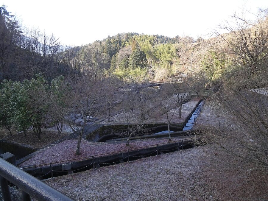
Back on R19, eight minutes south of Kiso-Fukushima you reach Agematsu, a smaller town than Fukushima but with two reasons to stop. The first is the Ne-no-Toko gorge.
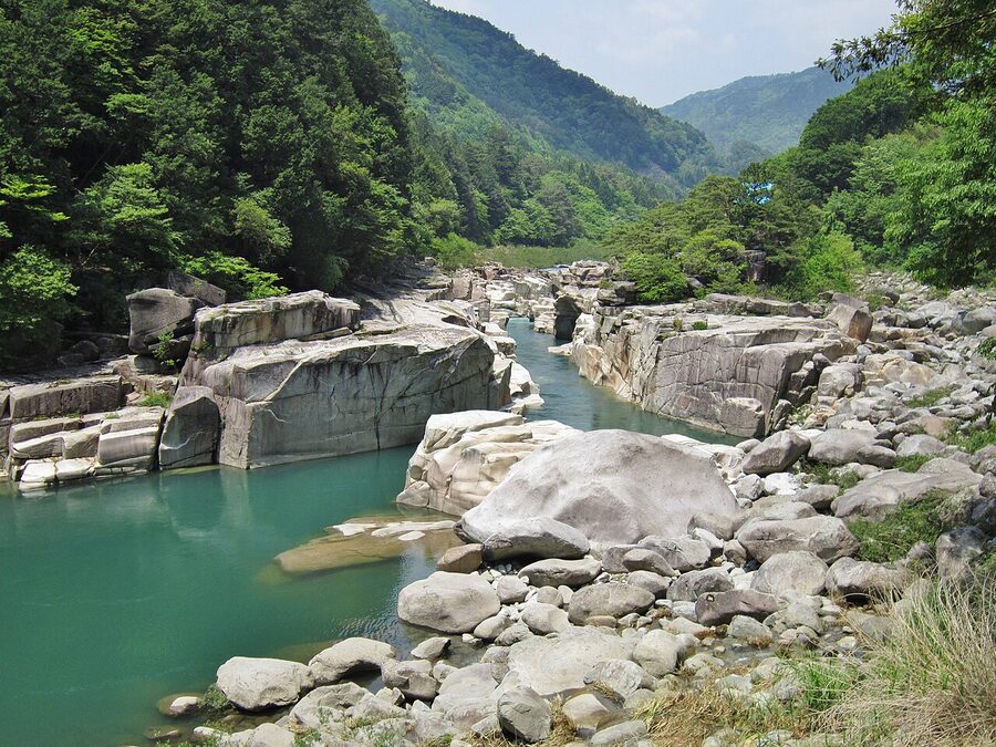
Park at the Rinzai-temple lot above the gorge (¥500). Pay the temple’s modest entry (¥200, opens 8:30) and walk down to the riverbed. The granite slabs are polished smooth, the water runs aqua-green from the upstream snowmelt, and there’s a small Buddhist hall, the Urashima-do, perched on the rim with a story about the Urashima Taro fisherman legend that the local monks will explain at length if you give them an opening. Hour and a half here, including the walk down and back.
Lunch in Agematsu: the trout
The other reason to stop in Agematsu is amago and iwana, the river trout that the Kiso has been famous for since the post-station era. The Kawamoto Bento shop near the Agematsu Bunka Center grills a whole fish on a salt skewer for ¥980, with rice and pickles ¥1,400. Pick one up to eat at the Ne-no-Toko viewpoint or one of the riverbank pull-offs further south. They’re closed Tuesdays.
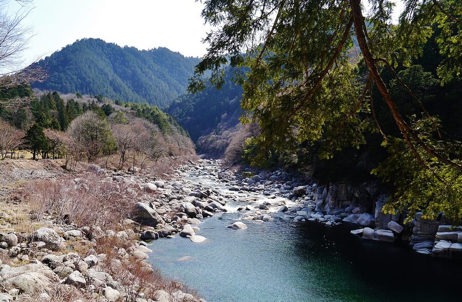
Atera Gorge: the optional detour
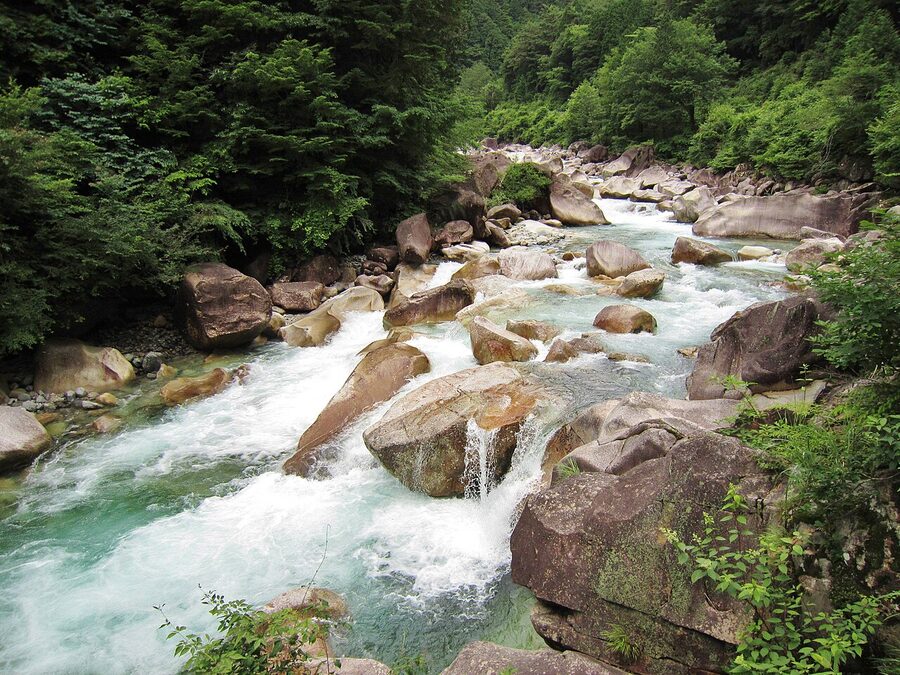
If you have an extra hour and the weather is dry, turn off R19 at Nojiri (about 20 minutes south of Agematsu) and drive 4km up the Atera-gawa side road to the Atera Gorge. The road is single-track in places and not great in rain. The reward is the cleanest, bluest water in the valley, a small set of cascades, and a wooden footbridge that always feels like it’s about to give way. Allow 90 minutes round trip from R19. Skip in winter.
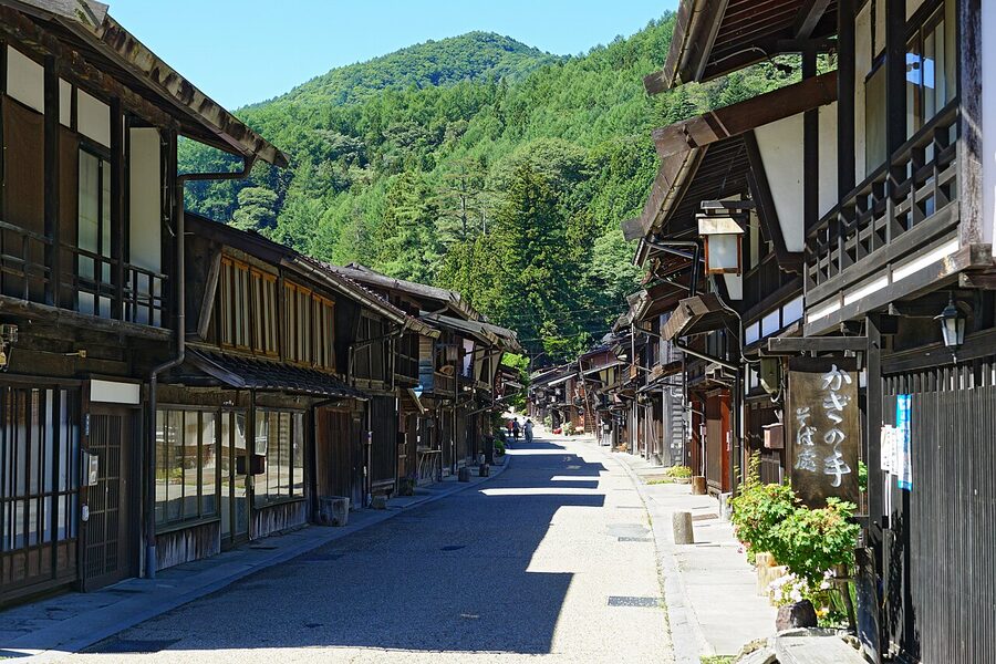
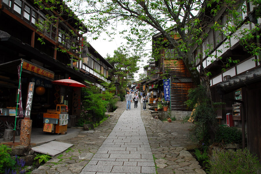
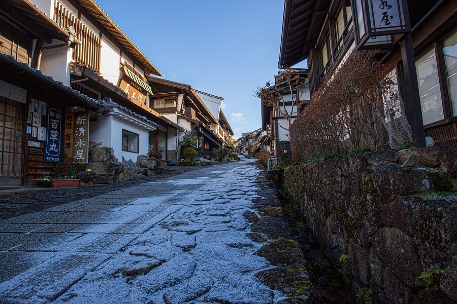
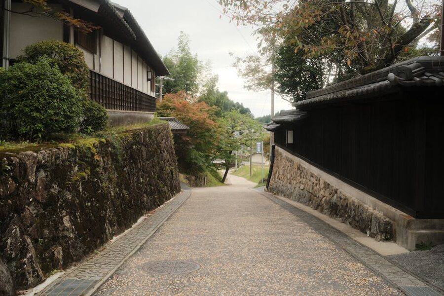
Tsumago: the buried-cable village
Half an hour south of Nojiri, R19 swings east and you turn off for Nagiso. Tsumago-juku sits a few minutes uphill from the station, and there are two car parks: the Tsumago-juku south lot (free, smaller, fills first) and the Nagiso-cho main lot (¥500, always has space). Take the second one: the walk in adds three minutes and the lot is on the route into the village from the south, which is the better visual approach.
The thing that makes Tsumago feel different from any other heritage village in Japan is what you don’t see. No power lines. No phone wires. No vending machines on the street. The 1968 preservation declaration was the first of its kind in the country and the residents’ covenant, “do not sell, do not rent, do not destroy”, still holds. The result is the cleanest sight-line of any Edo street in central Honshu.
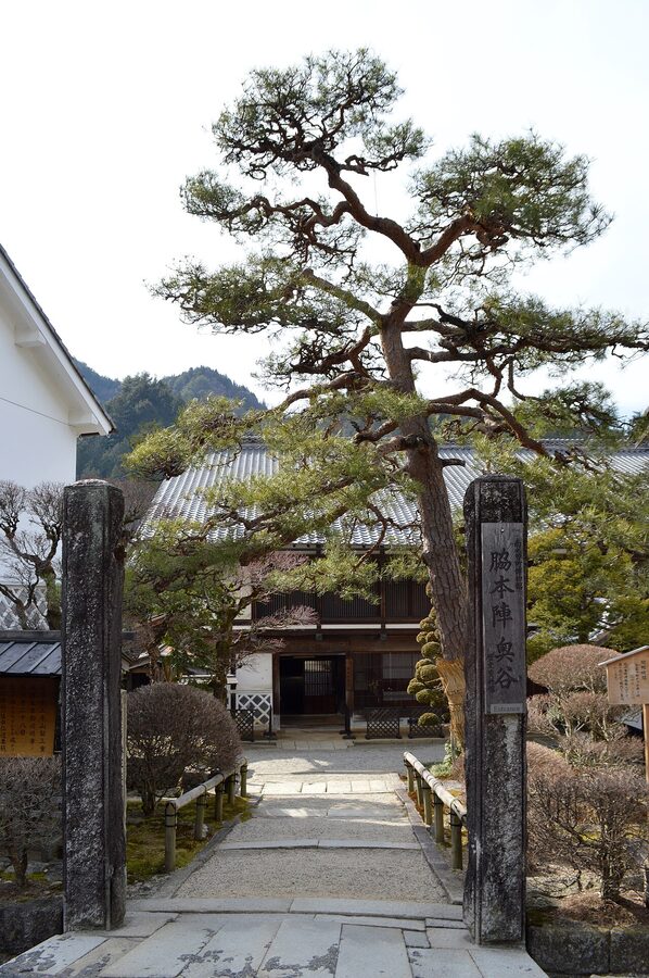
Walk the village south to north. The Honjin (the principal inn, used by daimyo and shogunate officials) is a 1990s reconstruction on the original footprint. The Waki-honjin Okuya next door is the original 19th-century building and the better visit, with a permanent exhibition about the Kiso Valley’s preservation movement. Combined ticket ¥700, save the stub.
For more on Tsumago alone, including the named ryokan and the daimyo procession reenactment, see the dedicated Tsumago travel guide.
The Magome-Tsumago hike, with a car
You don’t have to do the famous walk between the two towns just because you’re here. But if you want to, two practical options.
Option 1, the standard one: drive to Magome, park there (free public lot above the village), walk down to Tsumago, take the connecting bus back. The Magome-Tsumago bus runs roughly hourly between 09:00 and 16:00 (slightly fewer in winter), takes 28 minutes, and costs ¥800. The walk itself is 8.2km, three hours at a relaxed pace, descending overall (Magome is 600m, Tsumago 410m). This is the direction most people walk for the gradient.
Option 2, the car-shuttle: the same bus operator runs a baggage-forwarding service in season (April through November), ¥1,000 per piece, drop at one end before 11:30 and it’s at the other by 14:00. Useful if you want to walk in one direction and not carry your overnight bag.
If you only have the car and you don’t want to fuss with buses, do a half-walk: park at Magome, walk down to the Magome-toge pass (the actual highest point at 801m, about 25 minutes from the village), take in the view, walk back. You miss the long forest section in the middle but you get the most photogenic kilometre. For the full experience and trail history, see the Nakasendo walking guide.
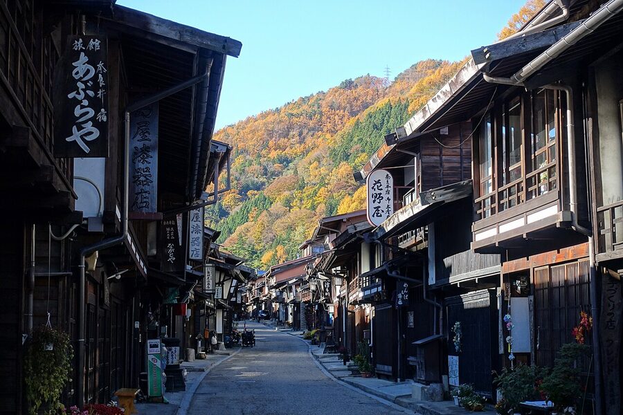
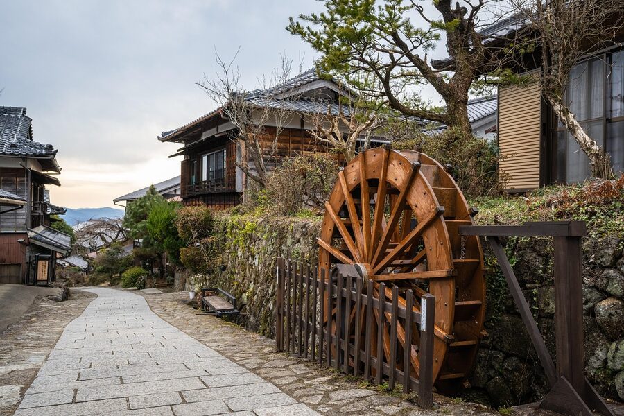
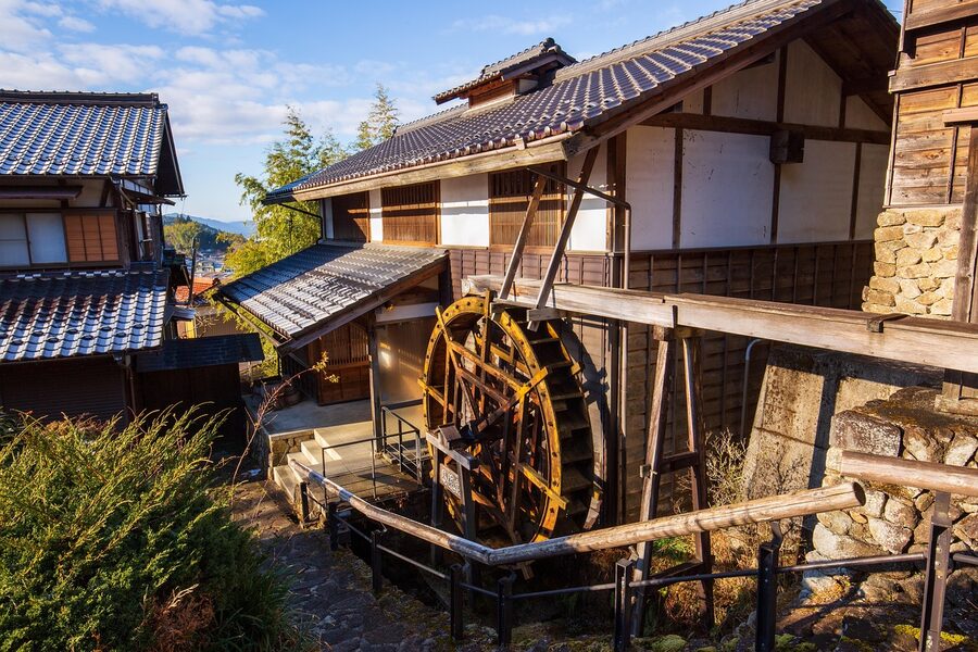
Magome: the upper post-town
Magome-juku is administratively in Gifu Prefecture (the only post-town on the Kiso-ji that isn’t in Nagano), which gives it a different feel: the buildings are slightly more polished, the souvenir shops more numerous, the foot traffic heavier. It’s also higher: at 600m, you’re 200m above Tsumago and the view back over the Kiso plain is one of the things that justifies the loop.
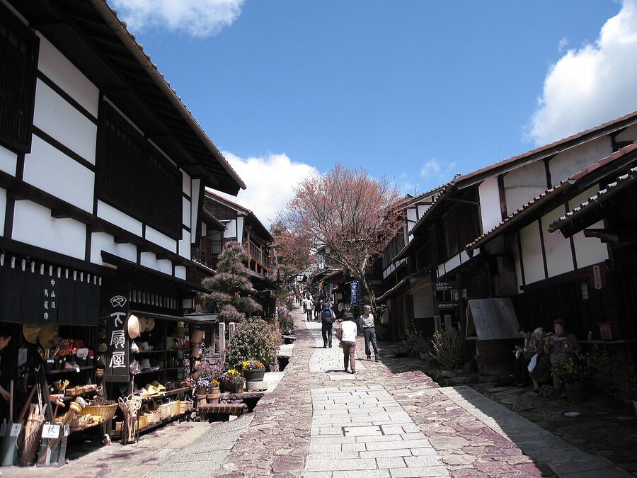
Park in the free public lot at the top of the village (capacity around 60, fills by 11:00 on a weekend). The Toson Memorial Hall, dedicated to the early-modern novelist Shimazaki Toson who was born here in 1872, is the main interior visit. ¥500, an hour will do it. Otherwise wander, eat (gohei mochi is the specific thing to try; more on that below), drink coffee at Hillbilly Coffee or one of the four other small cafes, and head back to your car.
Gohei mochi: the local pilgrimage food
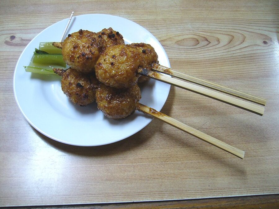
Gohei mochi is a flat patty of mashed glutinous rice on a flat wooden skewer, grilled over charcoal, painted with a walnut-miso or sesame-miso glaze, and grilled again. It was the post-station traveller’s road food: dense, sweet, calorific. Every other shop in Magome and Tsumago sells one. The version at Yamashiro on Magome’s main slope is the one most locals point to, ¥350 each. Eat them standing up, with a cup of green tea from the same counter.
Nakatsugawa: where you’ll either turn round or carry on
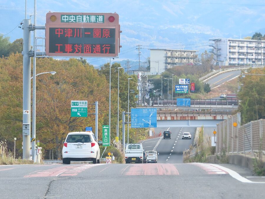
Magome sits on the southern edge of the Kiso Valley; Nakatsugawa is the next town south, 20 minutes by car, and it’s where the loop has a fork in it. If you’re heading back to Tokyo or Nagoya, jump on the Chuo Expressway here at the Nakatsugawa IC and you’re at Nagoya in 50 minutes or Tokyo in just under three hours. If you’re going back to Matsumoto, retrace R19 north (1.5 hours), or take the alternative R361.
For most readers the natural connection from here is on towards Magome’s literary cousin towns: see the dedicated Magome travel guide for the in-depth Magome alone visit, or the access guide for connecting to other parts of the Japan Alps.
R19 vs R361: the loop options
If you want to make this a proper loop rather than retrace R19, R361 (Kaida-Hirayu line) is the historic alternative. It crosses east from Nojiri or Kiso-Fukushima, climbs the Goshiki-no-Mine pass, drops into the Hirayu Onsen plateau, and connects you with the Okuhida onsen-go hot-spring valleys and ultimately Takayama. It’s a serious mountain road, slower than R19, and parts close from December through March. But in summer and autumn it’s the prettiest single drive in central Honshu, with views of Norikura, Yarigatake, and Hotaka along the way.
The pragmatic loop most drivers do: R19 south one way, R361 over the top via Hirayu and back, or R19 south to Nakatsugawa and the Chuo Expressway home. R19 north back to Matsumoto is the dullest option of the three but the simplest if you only have one day for the southern post-stations.
Snow tyre considerations: late November to mid-April
The valley floor on R19 is generally clear and salted. The trouble is the side roads. Akasawa is closed in winter anyway. Kaida-Kogen requires snow tyres or chains from late November to early April, and rental cars in Nagano are usually equipped from December onwards as standard. R361 closes east of Nojiri-juku from mid-December to late April; check the prefectural road website before you commit.
If you’re hiring at Matsumoto or Nagoya in winter, ask explicitly for studless snow tyres (sutaddoresu taiya), confirm the rental contract notes them, and don’t take the car off R19 unless you’ve checked the local conditions. Last March I got 20cm of fresh snow at Kaida-Kogen on a forecast that had said “occasional flurries”. The snow plough doesn’t pass twice an hour up there.
Practical timings and the standard 2-day plan
Day 1, Matsumoto start (suggested):
- 09:00 Pick up car, Matsumoto Station counters
- 09:30 Onto Nagano Expressway, exit Shiojiri
- 10:30-12:00 Narai-juku
- 12:30 Yabuhara (30-minute stop)
- 13:30 Lunch in Kiso-Fukushima (Kurosawa Soba)
- 15:00-18:00 Kaida-Kogen and Mt Ontake viewpoint side-trip
- 18:30 Check in to Onyado Tsutaya in Kiso-Fukushima
Day 2:
- 08:30 Drive south on R19 to Agematsu
- 09:00-10:30 Ne-no-Toko gorge
- 11:00 Lunch trout pickup, Agematsu (Kawamoto)
- 12:00 Drive to Akasawa hinoki forest
- 12:30-15:30 Akasawa (forest railway plus Watabashi loop)
- 16:00 Drive to Tsumago-juku, walk the village
- 17:30 Drive to Magome-juku, walk the village, eat gohei mochi
- 19:00 Either Nakatsugawa IC and home, or back-track to overnight at a Magome minshuku
If you want a 1-day version, drop Kaida-Kogen and Akasawa, do Narai in the morning, lunch at Kiso-Fukushima, the Ne-no-Toko at 14:00, and Tsumago/Magome from 16:00. Tight but workable, and still the only realistic way to see the whole chain in a single day.
Onward connections
From Magome and Nakatsugawa, the Chuo Expressway runs south-east to Nagoya in 50 minutes, north-east to Tokyo via Suwa in roughly 3 hours, and west to Kyoto via the Meishin in about 2.5 hours. From the northern end, R19 connects to Shiojiri and the Nagano Expressway for Matsumoto in 90 minutes, with the option of dropping further into the Japan Alps itinerary loop via Norikura, Kamikochi, and Hakuba. The valley really is the spine of central Honshu: every direction from here goes somewhere good.
One thing the brochures never mention. If you stop at the small unsigned pull-off on R19 about 6km south of Kiso-Fukushima, where the road sweeps right along the water, there’s a cracked concrete bench someone put there in the 1970s. It looks at the river, not at the mountains. That’s the spot.
.jpg)
.jpg)
_,_-_-_panoramio_(29).jpg)
.jpg)