
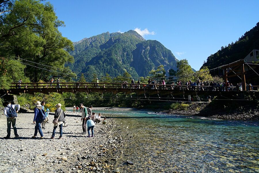
Six in the morning on a wooden bridge above a river the colour of pale tea, and I have it to myself. There’s a heron working the gravel bar downstream, head cocked. Upstream, the Hotaka range is going pink in the first sun and the only sound is the Azusa river running over rocks. The first bus from Matsumoto won’t arrive for another hour and fifteen minutes, which is why I left the Lemeiesta lobby at 5:40am with a coffee in a paper cup and walked the ten minutes here in the dark. By 10am there will be a queue of twenty people waiting for the same bridge photo. By noon the wooden planks will be warm with bodies. But right now Kappa-bashi is just a bridge, the river is just a river, and Kamikochi is the protected alpine valley it actually is.
Kamikochi (上高地, “upper highlands”) is a 15km stretch of protected river valley at 1,500m in the Northern Alps, in the Chubu Sangaku National Park. Private cars have been banned since 1975. Access is by bus only, between mid-April and mid-November. You can do it as a day trip from Matsumoto or Takayama, but I’d stay a night. The valley is the foreground of the Northern Alps. Sleeping here means you get the morning fog and the side-lit peaks before the first day-tripper bus rolls in, and the long blue dusk after the last one rolls out.
This guide covers the three pond walks for non-hikers, the trailhead status for the major peaks, the season, the historic Imperial Hotel and the lodge cluster, the Walter Weston connection, and the alternative western entry via Hirayu and Shin-Hotaka. If you’ve already decided you’re going, skip to the access section. If you haven’t decided, read the next section first.
In This Article
- Why this valley is different from anywhere else in Japan
- Getting there
- From Matsumoto (east side, the most common route)
- From Takayama (west side via Hirayu)
- By long-distance bus from Tokyo, Osaka or Nagoya
- By car (and where to park)
- The opening and closing dates
- The three main spots, ranked by what’s actually worth your time
- Taisho-ike (Taisho Pond)
- Tashiro-ike and Tashiro Marsh
- Kappa-bashi (Kappa Bridge)
- Myojin-ike (Myojin Pond) and the Hotaka Shrine
- Dakesawa Marsh, the bonus stop most people miss
- Going higher: the trailhead status for the major peaks
- Day hikes from Kappa-bashi (no altitude, no overnight)
- Karasawa Cirque (the autumn-colour classic)
- Mount Hotaka and the Hotaka traverse
- Mount Yarigatake (the spear)
- A short history: Walter Weston, the Imperial Hotel, and how the valley got protected
- Where to stay in Kamikochi
- The Kamikochi Imperial Hotel (Teikoku Hotel)
- Kamikochi Lemeiesta Hotel (the comfortable middle)
- Kamikochi Tokusawaen (deeper, quieter, family-run)
- Nishi-Itoya Mountain Lodge (basic, walking distance)
- Konashidaira Campground
- The mountain huts above (Karasawa Hyutte, Yokoo Sanso, Yarigatake Sanso)
- What to eat
- Photography: timing, gear, and the rules
- The best hour is 5:30am to 6:30am
- Afternoon is weather-dependent
- A polariser is the one filter you actually need
- Tripods and drones, the rules
- When to come
- Spring (late April to end of May)
- Summer (June to August)
- Autumn (late September to early November)
- Winter (closed)
- Temperature and clothing month by month
- Practical bits to know before you go
- Altitude: when to start worrying
- What to combine Kamikochi with
- One last thing
Why this valley is different from anywhere else in Japan
Most Japanese mountain destinations have a road through them. Kamikochi has a road too, but you can’t drive on it. The 1975 ban on private cars was the deciding policy. It killed the day-trip parking economy that was destroying the valley floor and pushed every visitor onto the same shuttle-bus system. The valley you walk through today is the result of fifty years of that decision, plus a no-development rule that stops any new hotel or shop being built outside the existing footprint, plus rangers who actually patrol.
The numbers tell the story. About 1.2 million people visit each year, almost all of them in a seven-month window, and yet the valley itself never feels developed. There are roughly a dozen places to sleep, six restaurants, two visitor centres, and a single bus terminal. That’s it. No convenience store. No vending-machine wall. No paved shortcuts. The trail surface is gravel and wooden boardwalk. The toilets cost 100 yen and the money goes to maintenance. The drinking-water fountains pour straight from the Azusa headwaters, which is one of the cleanest river systems in the country.
The other thing that makes Kamikochi different: the geology lets you stand on flat ground at 1,500m with a 1,600m wall of mountain rising a kilometre away. Most alpine valleys force you to climb to see the peaks. Here you walk for ten minutes from the bus and there’s Mount Hotaka, 3,190m, full-scale, no foreshortening. The Azusa runs cold and pale at your feet because the water is glacier-melt filtered through the gravel beds upstream. It’s a strange combination of accessibility and grandeur, and it’s the reason the Japanese Alpine Club still treats this valley as the spiritual home of mountaineering in Japan.
Getting there
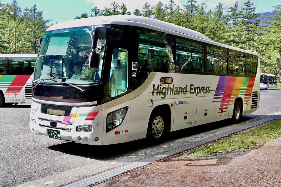
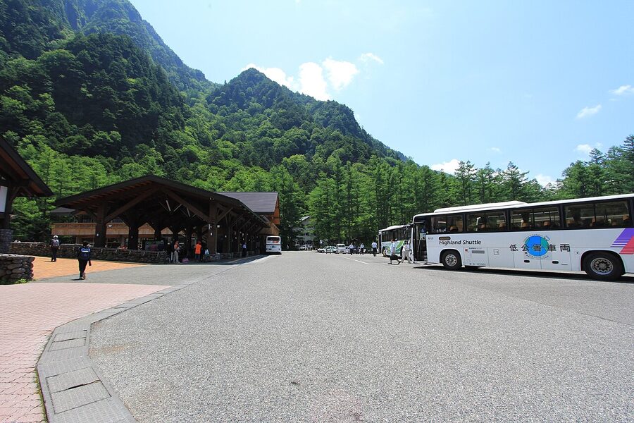
Private cars have been banned since 1975. You arrive by bus, full stop. The valley has two main entry routes (east via Matsumoto, west via Takayama and Hirayu) plus a small number of long-distance buses from Tokyo and Osaka. Pick the route that matches the rest of your trip, not the one that looks shortest on the map. Both routes take roughly two hours from a major train station to the bus terminal at Kamikochi.
From Matsumoto (east side, the most common route)
This is the standard approach. Start at JR Matsumoto station, take the Alpico Kotsu Kamikochi Line train (sometimes called the Matsumoto Dentetsu Line) from platform 7 to Shin-Shimashima. The journey is 30 minutes, costs ¥710, and runs hourly. The train is private, so the JR Pass is not valid. At Shin-Shimashima you transfer across the platform to the Alpico bus to Kamikochi, 70 minutes, ¥2,110 return. The first bus leaves Shin-Shimashima at 5:40am in summer; the last bus back leaves Kamikochi at around 5:05pm.
Alpico now runs two direct buses from Matsumoto Bus Terminal straight through to Kamikochi without the Shin-Shimashima transfer. These are called the National Park Liner and depart Matsumoto at 5:30am and 10:15am, costing ¥4,450 one way. If you’re carrying a day pack and want to maximise valley time, the 5:30am direct bus is the play. Book through the Alpico site at least a week ahead in summer.
From Takayama (west side via Hirayu)
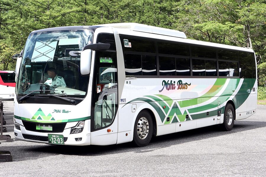
Nohi Bus runs hourly from Takayama Bus Terminal to Hirayu Onsen, 60 minutes, ¥1,600. At Hirayu you transfer to the Kamikochi shuttle, 25 minutes, ¥1,500 one way or ¥2,800 return. The total is roughly 1h 30m. This route is significantly quieter than the Matsumoto side because most non-Japanese visitors come from the Tokyo direction, and it pairs naturally with a night in Okuhida Onsen-go, in particular Hirayu or Shin-Hotaka.
If you’ve already used the Tateyama-Kurobe Alpine Route on the Toyama-Nagano axis, the Takayama side is the natural way to swing south afterwards. Hirayu is also where the Shin-Hotaka Ropeway buses pass through, so you can combine Kamikochi with a half-day on the ropeway with one base.
By long-distance bus from Tokyo, Osaka or Nagoya
Alpico runs daytime and overnight highway buses from Tokyo’s Shinjuku/Bus Tana terminal directly to Kamikochi, 5 to 7 hours, ¥8,000 to ¥14,000 depending on the day and seat type. From Osaka and Kyoto there are overnight buses, 8 hours, ¥13,000 to ¥19,000. Reservations are essential. Willer is the simplest English booking platform.
The overnight bus from Osaka or Kyoto is what experienced Japan hikers use when they want to maximise time on the trail without paying for a Matsumoto hotel: arrive 5:30am, walk the valley before the day buses, ride out in the afternoon. It’s a long way to do without sleep, though. If you’re not used to overnight buses, take the train to Matsumoto and add a night there.
By car (and where to park)
You can drive to within 30 minutes of Kamikochi, but no further. There are two large car parks: Sawando on the Matsumoto side, and Akandana on the Takayama side. Parking is ¥700 per calendar day at Sawando, ¥600 at Akandana. From either, you take the shuttle bus in: ¥1,400 to ¥2,000 each way at Sawando, similar at Akandana. If you’ve rented a car for a Japan Alps loop, this works fine. If you’re just going to Kamikochi, the train and bus is cheaper and faster.
There is a taxi option from Sawando too. Roughly ¥3,500 to ¥5,200 one way for up to four people. If you’re a group of three or four and you’ve missed the last bus out (5:05pm), the taxi is the same price as four bus tickets and faster.
The opening and closing dates
Kamikochi closes from mid-November to mid-April every year because of snow on the access road. The opening ceremony (Kamikochi Kaisan-sai) is held annually on 27 April with the official opening tied to the prefectural road’s snow-clearing date in mid-April. The closing date is 15 November every year, fixed by law. Outside those dates the valley is genuinely shut: no bus, no hotels, no shops, no rangers. A small snowshoe-guide industry runs guided winter walks from Sawando into the lower valley, but the valley proper is closed to independent visitors.
The three main spots, ranked by what’s actually worth your time
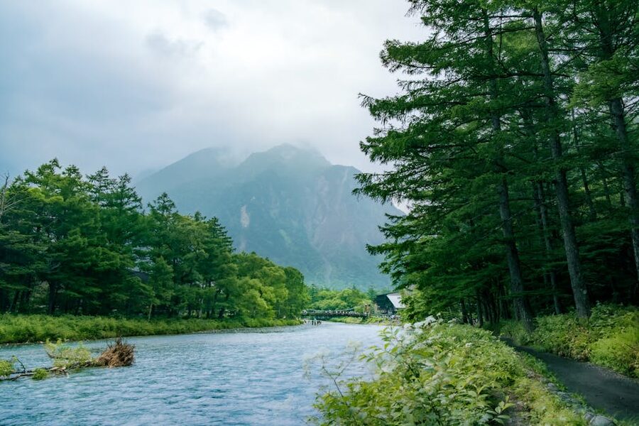
If you have one day, the loop that works is: bus terminal → Taisho-ike → Tashiro-ike → Kappa-bashi → Myojin-ike → Kappa-bashi → bus terminal. That’s roughly 9.2km of walking, 3 to 5 hours at a slow pace, all flat. Trainers are fine. Proper hiking boots only matter if you’re going higher than Tokusawa. The most efficient version is to ride the bus past Kappa-bashi to the Taisho-ike stop, walk back upstream to Kappa-bashi (an hour), then continue another 90 minutes to Myojin-ike, and ride the bus out from Kappa-bashi at the end.
Taisho-ike (Taisho Pond)
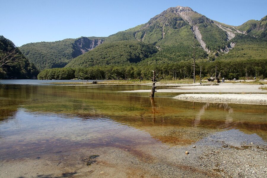
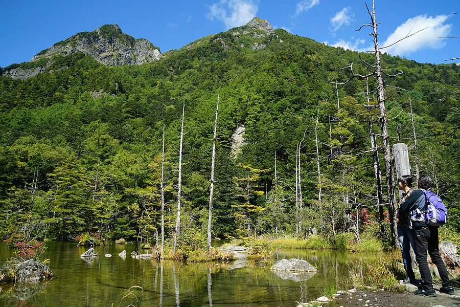
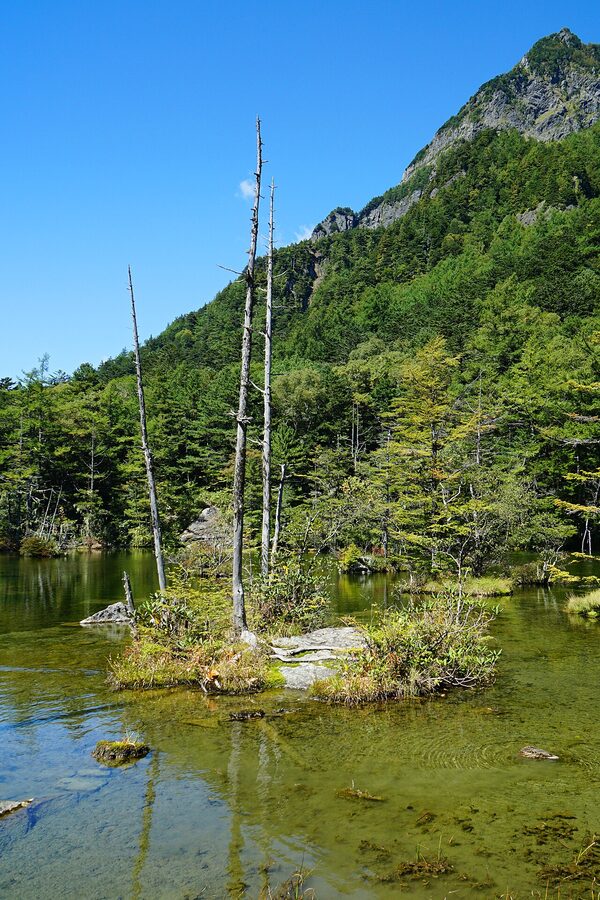
Taisho-ike was created on the night of 6 June 1915 when Mount Yakedake erupted, blocked the Azusa with mudflow, and dammed up a pond overnight. The forest that was standing in the new pond drowned in place; the silver-grey trunks are still there a century later, slowly rotting. The pond is named after the reigning emperor, the Taisho era running 1912 to 1926.
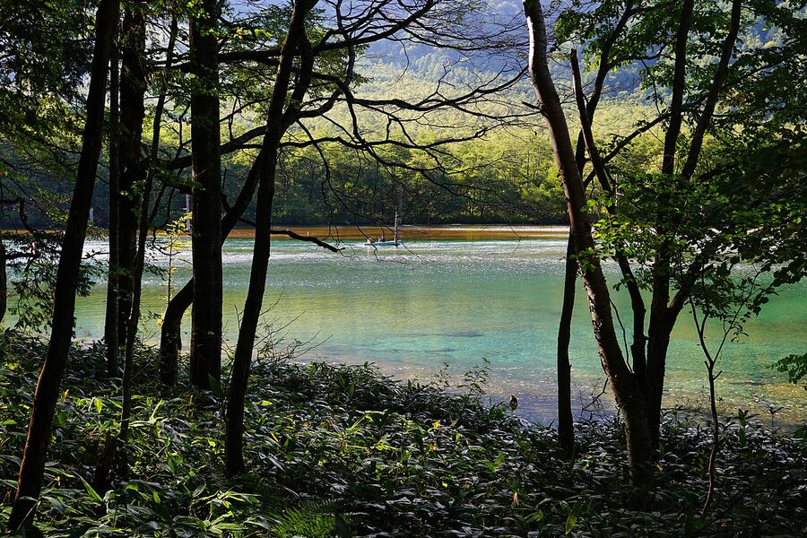
The pond has been slowly silting up since the 1960s as the Yakedake mudflow consolidates. It’s now half the surface area it had in the 1930s and ecologists at the visitor centre will tell you it will probably be a marsh within another 50 years. If you have any choice in the matter, see it now. The deadwood stand thins out a little every decade as the trunks finally fall.
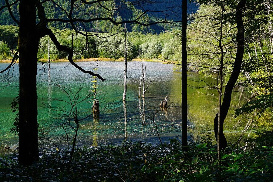
Practical: there’s a bus stop at the pond (Taisho-ike, K-28), so you can ride in without walking the 4km from the terminal. The 15-minute pond loop on wooden boardwalk is wheelchair-accessible. The 30-minute walk upstream from the pond to Tashiro-ike, and the further 30 minutes to Kappa-bashi, are gravel-flat with no climb.
Tashiro-ike and Tashiro Marsh
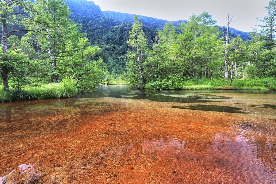
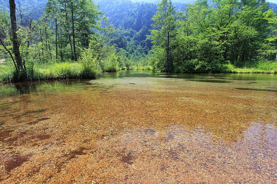
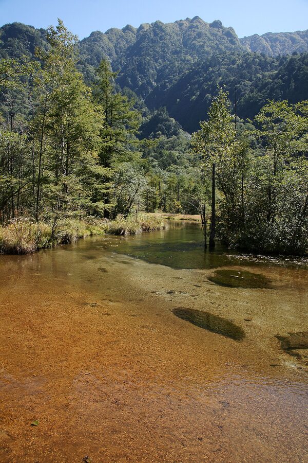
Halfway between Taisho-ike and Kappa-bashi, the trail crosses a marshy basin and a small pond called Tashiro-ike. Most day-trippers walk straight past on the main path. There’s a 15-minute boardwalk loop off the trail to your right, and almost nobody on it. The pond is shallow, fed by springs, and surrounded by sasa bamboo and birch. The frost lines on the boardwalk in early November are spectacular. So is the autumn colour through the larch in mid-October. This is the most under-visited of the four ponds and the one I’d recommend you actively plan around if you have an extra hour.
Kappa-bashi (Kappa Bridge)
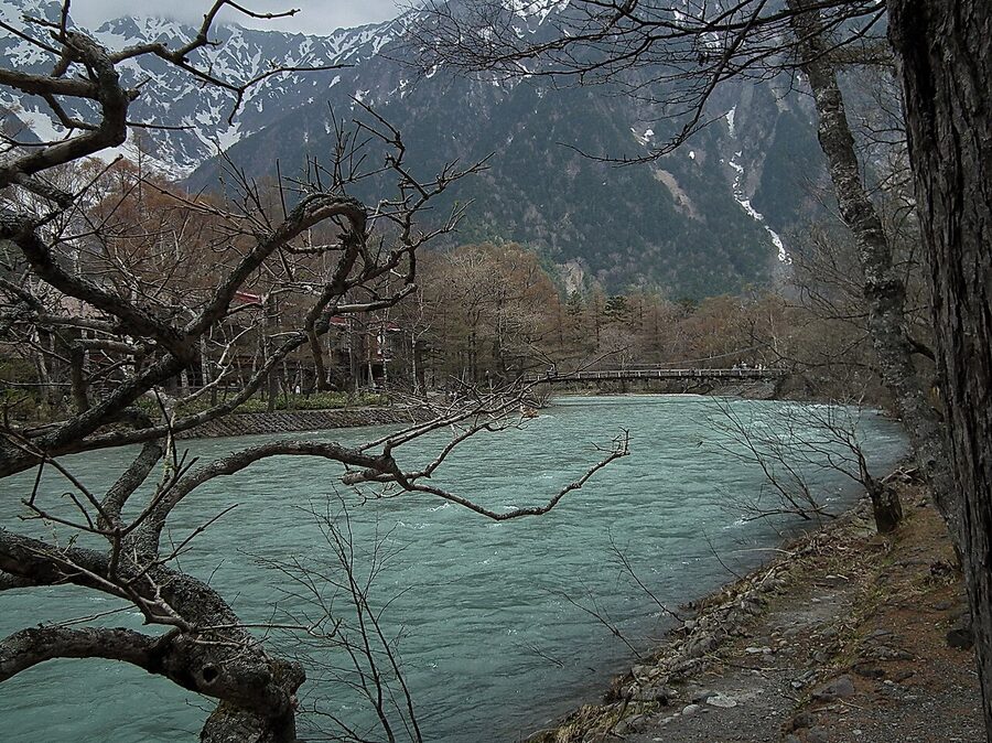
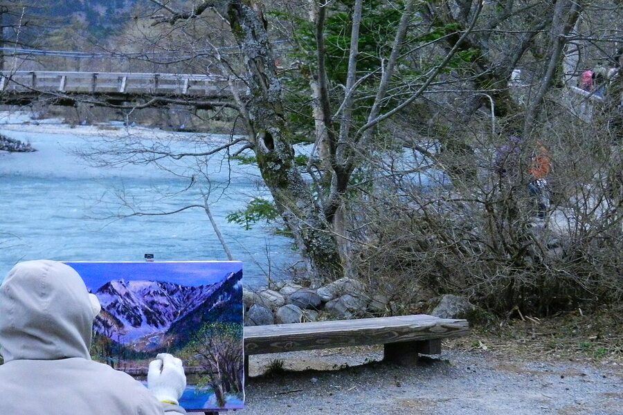
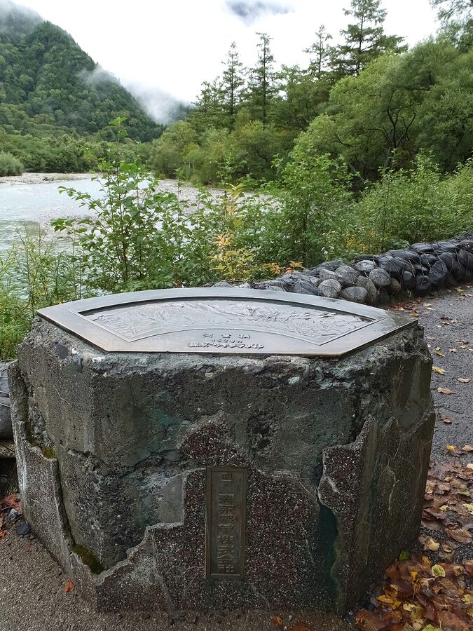
Kappa-bashi is the central landmark, a wooden suspension bridge across the Azusa about 8 minutes’ walk from the bus terminal. Every photo of Kamikochi you’ve ever seen was taken from this bridge or pointing at it. Walk across, look both ways, take the photo, accept that everyone is doing the same. The bridge is named after kappa, the river demons of Japanese folklore who supposedly inhabited the deep pool here. There’s a small statue of one on the west side, near the visitor centre.
Around the bridge there’s a small visitor centre (free, English maps, open 8am to 5pm), a handful of restaurants doing overpriced lunches at the ¥1,500 to ¥2,000 mark, and three of the historic hotels. The Kamikochi Imperial Hotel, built in 1933 as Japan’s first Western-style mountain resort, sits a 7-minute walk west of the bridge. The afternoon tea on the lounge terrace (¥3,500, 2pm to 5pm, no reservation needed) is one of the quiet luxuries of the region and the terrace itself is arguably the best non-hiking view in Kamikochi.
Myojin-ike (Myojin Pond) and the Hotaka Shrine
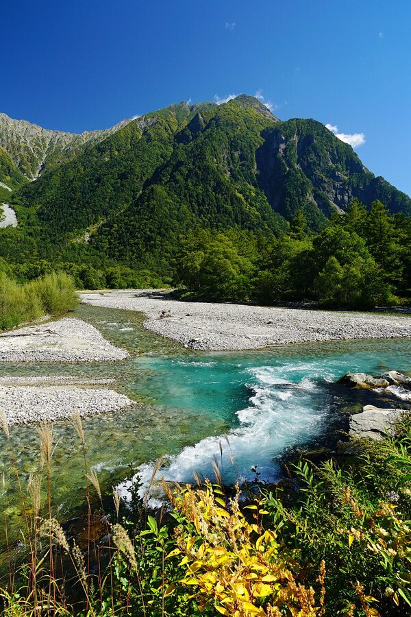
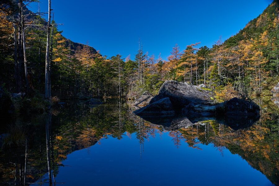
Most day-trippers stop at Kappa-bashi and turn around, which is why I’ve put Myojin-ike here as a separate spot rather than bundling it with the day-trip loop. Myojin-ike is 3km further upstream, roughly 45 minutes’ walk on easy gravel path. It sits directly beneath Mount Myojin (2,931m), and the water is so still on most mornings that the reflection is better than the mountain itself. There’s a 500-yen entrance fee for the pond grounds, paid at the Hotaka Shrine office at the entrance. The fee is genuinely worth paying.
The small Hotaka Shrine on the east bank of the pond is the annual site of the Hotaka Shrine Boat Festival on 8 October, where two ornate boats with dragon and serpent prows are rowed across the pond at sunset. If you’re planning your trip, that one date is worth aiming at. The festival is small (a few hundred attendees), the lighting is exceptional, and the timing puts you in Kamikochi at peak autumn colour. Bring a tripod.
The round trip Kappa-bashi to Myojin-ike is 6km, about 2 hours at a slow pace. There’s a small hut at the pond, Kamonjigoya, that serves charcoal-grilled iwana river fish on a skewer with rice for ¥1,200. Cash only. Many people use Myojin as a lunch stop and turn around. If you’re hiking on, the trail continues to Tokusawa and beyond, into the long traverse routes towards Yarigatake and the Hotaka peaks.
Dakesawa Marsh, the bonus stop most people miss
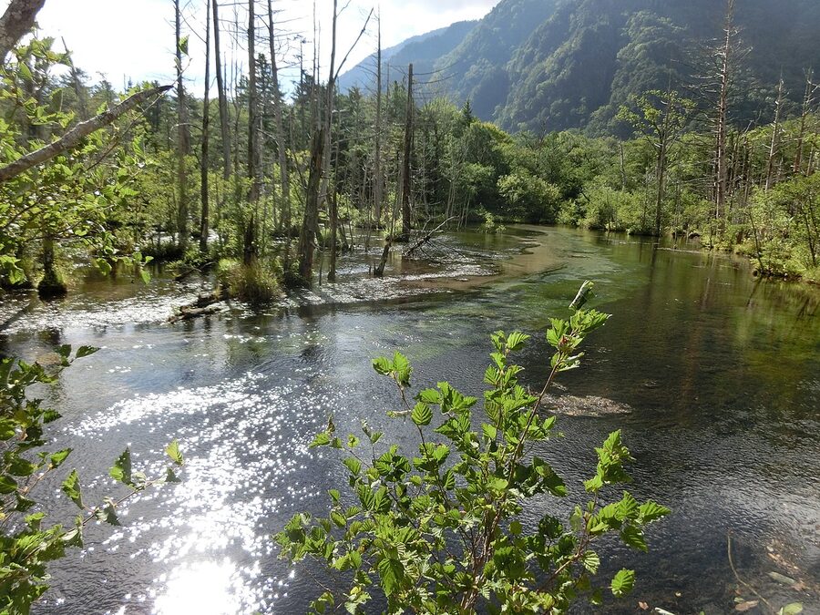
Five to ten minutes’ walk from the Kappa-bashi along the south bank of the Azusa towards Myojin, there’s a small wooden boardwalk leading off into a side basin. This is Dakesawa Marsh. It’s spring-fed, the water is glass-clear, and the boardwalk lets you see the springs bubbling up under the moss. Most day-trippers walk straight past the turnoff. Don’t. It’s ten minutes round trip and one of the best contemplative stops in the valley.
Going higher: the trailhead status for the major peaks
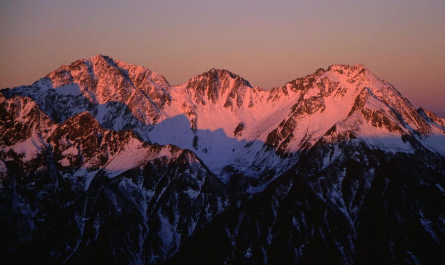
Kamikochi is the primary access point for the Northern Alps high routes. Three classic peaks start from the same trailhead at the Kappa-bashi: Mount Yarigatake (3,180m), Mount Hotaka (3,190m), and Mount Norikura (3,026m, accessed from the southern bus stops). None of these are day hikes. All three require at least one night in a mountain hut, and serious altitude awareness. Read the altitude sickness guide before you commit.
Day hikes from Kappa-bashi (no altitude, no overnight)
The flat trail from Kappa-bashi continues upstream past Myojin-ike all the way to a series of campsites at increasing distances. None of these involve any climbing. Tokusawa is 6km from Kappa-bashi, one-way 2.5 hours, flat through forest. There’s a small hotel and a campsite, and a family-run restaurant doing soba sets with mountain vegetables for ¥1,400 at lunch. Yokoo is another 4km beyond Tokusawa, a further 90 minutes. The lodge there (Yokoo Sanso) is genuinely good: drying room, small bathhouse with hot-spring water, two meals included for ¥14,000 per person. From Yokoo the trail finally starts climbing. Beyond Yokoo you’re committed to a multi-day hut-to-hut trip.
Karasawa Cirque (the autumn-colour classic)
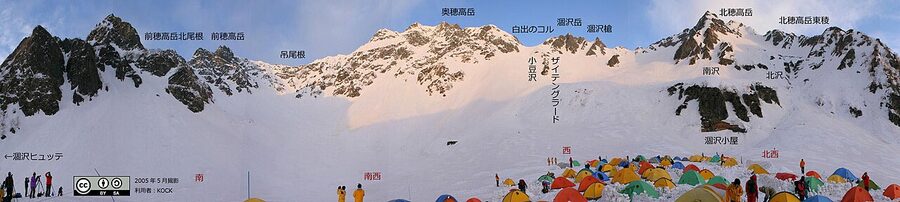
Karasawa is the great autumn-colour pilgrimage destination of the Japanese Alps. The 14km from Kappa-bashi to the Karasawa basin (one way, 7 to 8 hours, 800m of climb) is the classic approach to the Hotaka peaks, but you can do it as a there-and-back overnight trip without summiting anything. Stay at Karasawa Hyutte at 2,305m, eat the famous oden hot pot, walk the rim trail at sunrise. Reservations are essential and the autumn weekends in October are booked four months ahead.
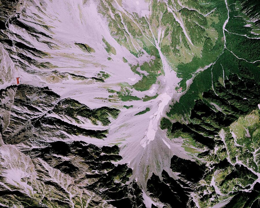
The conventional split is: day 1 Kamikochi to Yokoo Sanso (10km, flat, 3 hours), day 2 Yokoo to Karasawa to Yokoo (the steep section, 6km round trip, 4 to 6 hours), day 3 Yokoo to Kamikochi. If the weather is good both days, do day 1 Kamikochi to Karasawa Hyutte directly (6 to 7 hours) and stay up there. The view from the rim at dawn is the whole reason to make the trip.
Mount Hotaka and the Hotaka traverse
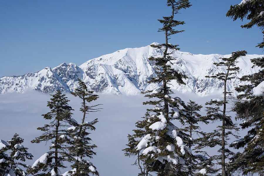
The Hotaka traverse is the multi-day classic of the Northern Alps. Three to four days, hut-to-hut, taking in Maehotaka (3,090m), Okuhotaka (3,190m, Japan’s third-highest), and back down via Karasawa or onward via Yari. This is serious mountain terrain with chains, ladders, and exposed sections. It’s also where most of the Japan Alps altitude-sickness incidents happen because hikers try to compress two days of acclimatisation into one. Detail in the Mt Hotaka guide.
Mount Yarigatake (the spear)
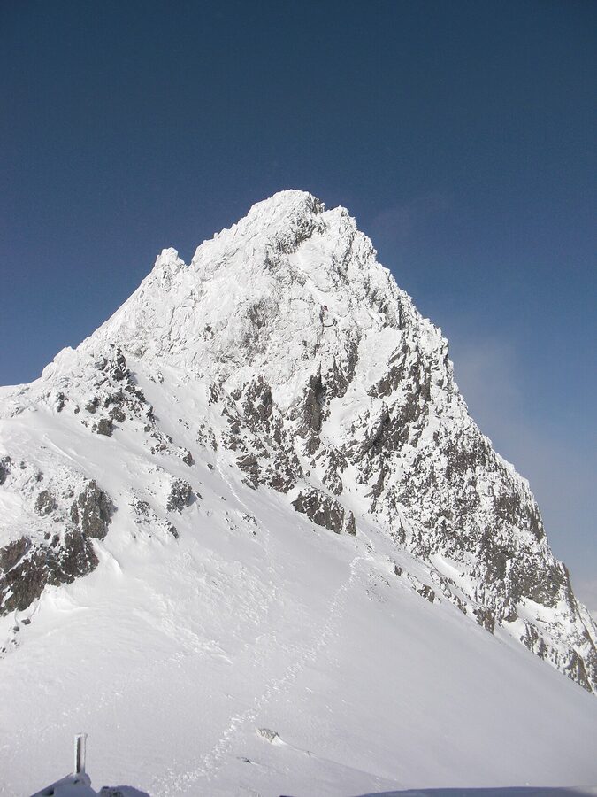
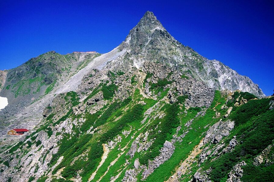
Yari is the iconic spear-shaped peak on every map of the Northern Alps. From Kamikochi the standard route is up the Yarisawa valley, 20km one-way, two days up plus one back. Yarigatake Sanso sits at 3,060m, the highest manned hut in this part of the range. The final 30 metres of the climb to the summit are a near-vertical chain section, doable but not for nervous scramblers. Detail in the Yarigatake hiking guide. As with Hotaka, read the altitude sickness guide first.
A short history: Walter Weston, the Imperial Hotel, and how the valley got protected
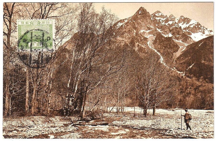
Kamikochi went from unknown valley to national icon in about 40 years, largely because of one British missionary. Walter Weston, an Anglican priest posted to Kobe in 1888, spent his summers climbing the Northern Alps with local Japanese guides. His 1896 book Mountaineering and Exploration in the Japanese Alps introduced the region to Europe and, more importantly, gave Japanese readers a reason to see their own mountains as something worth preserving rather than just farming around. The Japanese Alpine Club was founded in 1905 directly off the back of Weston’s writings. There’s a bronze relief of him on a rock near Kappa-bashi, placed by the club on the 30th anniversary of his first Kamikochi visit. Every summer, the Weston Festival on the first weekend of June still commemorates him, with a small ceremony at the relief and a guided walk up to Tokusawa.
Chubu Sangaku National Park was designated in 1934, one of Japan’s first three. The Kamikochi Imperial Hotel opened a year earlier in 1933 as Japan’s first Western-style mountain resort, built specifically to attract foreign mountaineers and pre-war diplomatic guests. Private cars were banned from Kamikochi in 1975, after a decade of growing pressure from environmentalists and the Alpine Club. The current rules (no overnight camping outside the designated site, no fires, no drone flying, no climbing on Taisho-ike’s deadwood trees) are strictly enforced by rangers who patrol the main trails on foot. The valley you see today is the result. None of it was inevitable. Most equivalent valleys in 1960s Japan were ruined by ski-lifts, hotels, and parking. Knowing that as you walk through changes how you read the place.
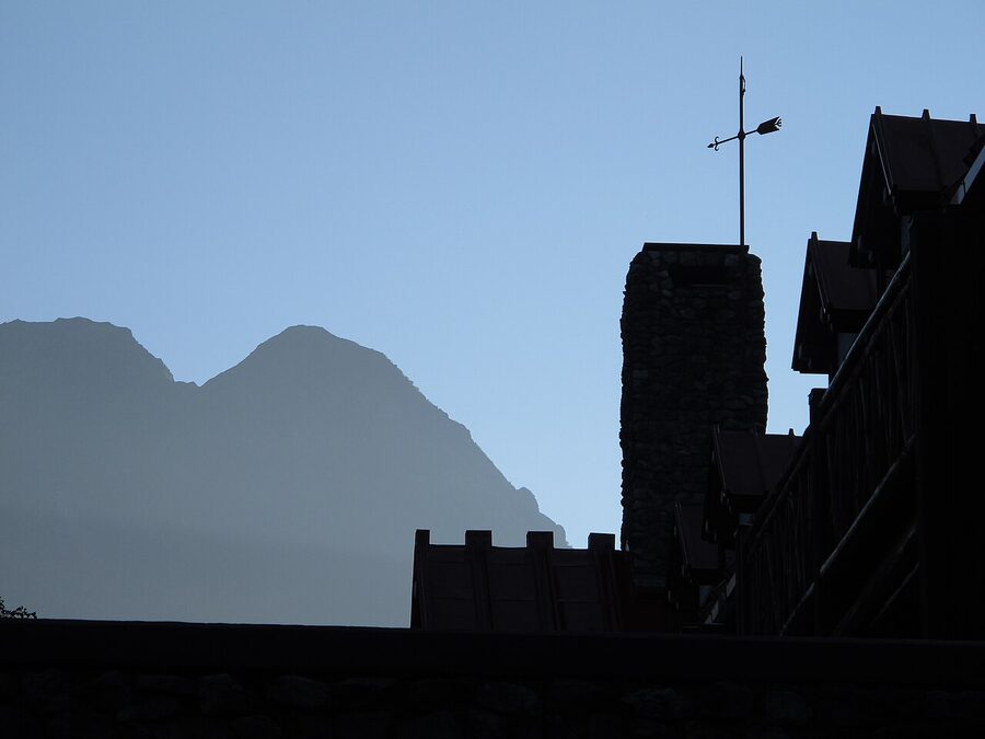
If you want to read more on Weston before you visit, the Japanese Alpine Club’s English-language website has scans of the original 1896 book. The Hotaka Shrine at Myojin-ike, the boat festival on 8 October, and the Weston relief itself are the three places where the modern conservation history of the valley is most visible. It’s worth doing the small loop that takes in all three at some point during a stay.
Where to stay in Kamikochi
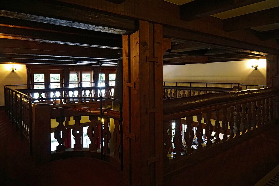
There are only about a dozen places to sleep inside Kamikochi. Prices are high. Availability is tight in peak season (July to August and the first two weeks of October). Everything closes mid-November to mid-April. Book direct with each property or via Booking.com. Most require six months’ lead time for summer weekends. The Imperial Hotel books a year out for peak July-August.
The Kamikochi Imperial Hotel (Teikoku Hotel)
Built 1933, restored in the 1990s, still operated by the Imperial Hotel chain (the same group as the Tokyo Imperial). Rooms run ¥45,000 to ¥80,000 per person with two meals. The big draw is the chef-at-the-pass European breakfast in the main dining room: 45 minutes of small plates, fresh pastries, and the Hotaka view from the south windows. The afternoon tea is ¥3,500, 2pm to 5pm, no reservation required, and is the practical way to experience the Imperial without paying for a room. Worth one night if you can justify it. Genuinely unforgettable if you can stretch to two.
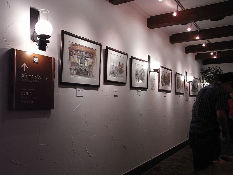
Kamikochi Lemeiesta Hotel (the comfortable middle)
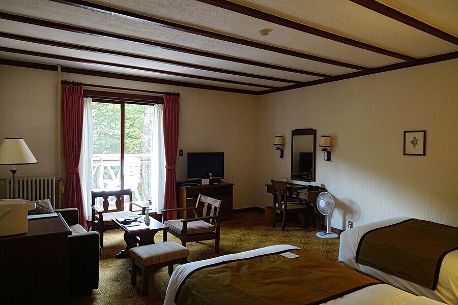
Modern European-style hotel a 5-minute walk from the bus terminal. Heated rooms with private bath, kaiseki dinner with Western plating, and a small natural hot-spring bath in the basement. Rooms ¥22,000 to ¥32,000 per person with two meals. This is the hotel I’d recommend if you want comfort without the Imperial’s price tag. It’s also the only Kamikochi hotel that does star photography well: a Nikkei Newspaper survey in 2017 named it one of Japan’s top 10 hotels for stargazing because the no-development rule means there’s almost no light pollution above the valley floor.
Kamikochi Tokusawaen (deeper, quieter, family-run)
Family-run since 1885, near the Tokusawa campsite, 6km up-valley from Kappa-bashi. ¥14,000 to ¥17,000 per person with meals. You walk in. There’s no road. Bags are forwarded by Yamato Transport from the Kamikochi bus terminal for an extra ¥1,500, or you carry your own. The lodge atmosphere is lower-key than the main valley properties, the food is honest mountain cooking (river fish, wild vegetables, soba), and the morning walk back to Kappa-bashi as the day-trip buses are arriving is one of the genuinely good moments of a Kamikochi stay.
Nishi-Itoya Mountain Lodge (basic, walking distance)
Old-school mountain lodge a 5-minute walk from Kappa-bashi. ¥12,000 to ¥14,000 per person with two meals. Basic rooms, shared bath, genuine hut atmosphere. If you want to be in the valley overnight on a budget but you don’t want to camp, this is the realistic option. The dinner menu changes seasonally and the breakfast trout is locally caught.
Konashidaira Campground
The only official campsite, 10 minutes from the bus terminal. ¥1,500 per tent-night, June to October. Rental tents, sleeping bags and mats available for ¥5,000 full set. Toilets and hot showers on site. It’s also the cheapest way to wake up inside the valley. Booking is by phone in Japanese; if you don’t speak the language, the visitor centre at the bus terminal will call for you.
The mountain huts above (Karasawa Hyutte, Yokoo Sanso, Yarigatake Sanso)
If you’re walking the Karasawa, Hotaka or Yari routes, you’ll be sleeping in mountain huts above the valley. The booking system, prices, etiquette, and route-by-route hut chain are covered in the dedicated mountain hut booking guide. Quick version: book at least three months ahead for autumn weekends, two months for summer weekends, two weeks otherwise. Karasawa Hyutte (2,305m) is the most famous and the hardest to book. Yokoo Sanso (1,620m) is the staging post on the trail in. Yarigatake Sanso (3,060m) is the highest, with the most weather risk.
What to eat
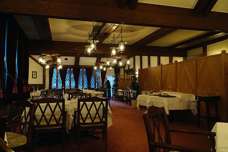
Kamikochi’s food situation is constrained by the no-development rule. There are maybe six restaurants in total, plus hotel dining rooms and a couple of hut kiosks. The standouts:
- Kamonjigoya at Myojin-ike. The hut by the pond does fresh iwana river fish salt-grilled over charcoal. ¥1,200 for a whole fish on a skewer with rice. Cash only. Worth the 45-minute walk from Kappa-bashi just for this.
- Imperial Hotel afternoon tea. ¥3,500, 2pm to 5pm, no reservation. The apple pie is from a 1935 recipe. The terrace seating with the Hotaka view is the unfair-advantage version of a Kamikochi afternoon.
- Tokusawaen restaurant. Family-run at the Tokusawa campsite, 6km up from Kappa-bashi. Soba set with mountain vegetables for ¥1,400. Lunch only. Doable as a hike-out lunch if you’ve already walked to Myojin.
- Kamikochi Lemeiesta lunch. The hotel restaurant takes lunch walk-ins for around ¥2,000 to ¥3,000. Pasta-and-salad style. Convenient if you’re sleeping there but otherwise not destination food.
- Bus terminal food court. Two canteen-style restaurants on the second floor of the bus terminal. Curry rice, udon, katsu-don, all in the ¥1,200 to ¥1,500 range. The Shinshu salmon and unagi bowl are the best of the menu. Convenient, not special.
- Kappa-bashi visitor centre cafe. Small, indoor only, coffee and cakes. Good for a 20-minute sit-down between walks.
Bring your own lunch if you’re doing the long walk to Myojin or Tokusawa: the trail has no food-vending points between Kappa-bashi and Tokusawa (6km). Pick up onigiri and sandwiches from a 7-Eleven in Matsumoto or Takayama before the bus. Tap water in Kamikochi is drinkable and there are public refill points along the trail.
Photography: timing, gear, and the rules
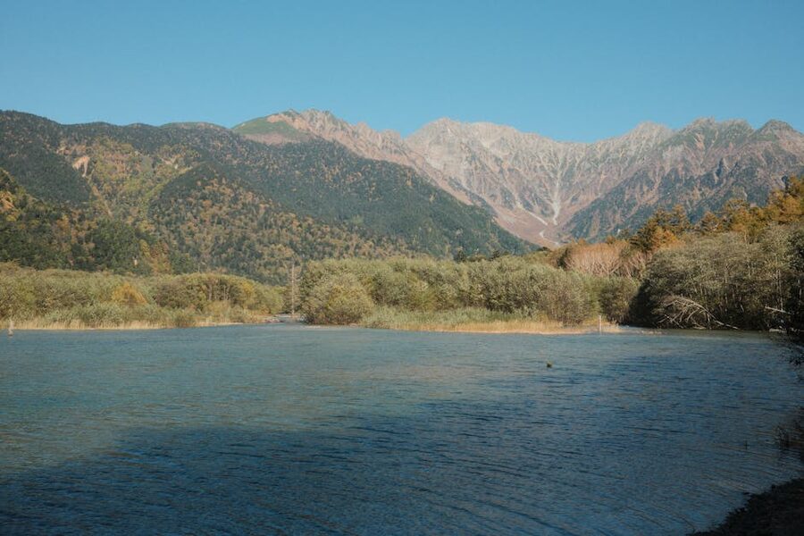
Kamikochi is one of the most photographed landscapes in Japan, which means every composition has been done a thousand times. Your photos will still look different because the light is never the same. A few practical notes from someone who’s come back wet and disappointed too many times:
The best hour is 5:30am to 6:30am
Glass water on the ponds, side-lit peaks, minimal crowds, river mist on cool autumn mornings. Stay overnight in the valley and walk out of your hotel with a head torch. The Imperial Hotel terrace at 6:00am, the Taisho-ike boardwalk at 6:30am, and the Myojin shrine at 7:00am form a single pre-breakfast loop with no other people in any of the frames.
Afternoon is weather-dependent
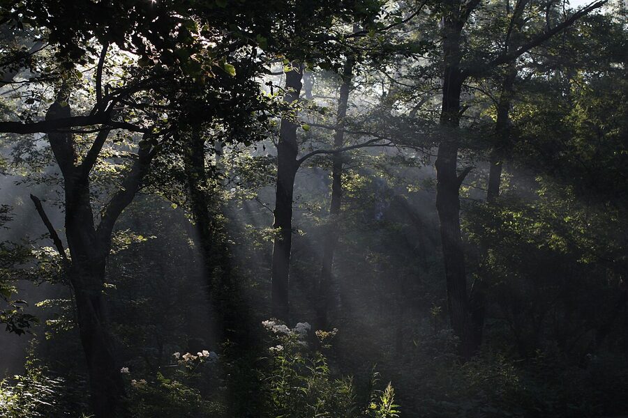
Summer convection builds cumulus over the Hotaka and Yari peaks by about 1pm; by 3pm the valley is often cloud-capped and you’ve lost the high-mountain background. Autumn afternoons stay clearer. October has the best ratio of clear afternoons to cloudy ones. May and early June are reliably clear in the morning but get summer-pattern cloud build-up by midday.
A polariser is the one filter you actually need
A circular polariser cuts surface reflection on the ponds to show the standing deadwood below the waterline at Taisho-ike. It deepens the sky without going cartoon-blue. And it cuts glare off wet boardwalks in the Tashiro Marsh. Bring one. A graduated ND is much less useful here because the contrast between sky and valley floor isn’t as extreme as it looks; the side-lit mountains balance fine in a single exposure if you meter for the highlights.
Tripods and drones, the rules
Tripods are fine on the bridges and gravel paths. They’re banned on the wooden boardwalks at Taisho-ike and Tashiro Marsh because the planks are narrow and the legs damage them. Use a monopod or shoot handheld in those spots. Drones are banned throughout the valley by national park regulation. Rangers will stop you and ask you to land if they see one. The fine for repeat offence is meaningful. Don’t pack the drone.
When to come
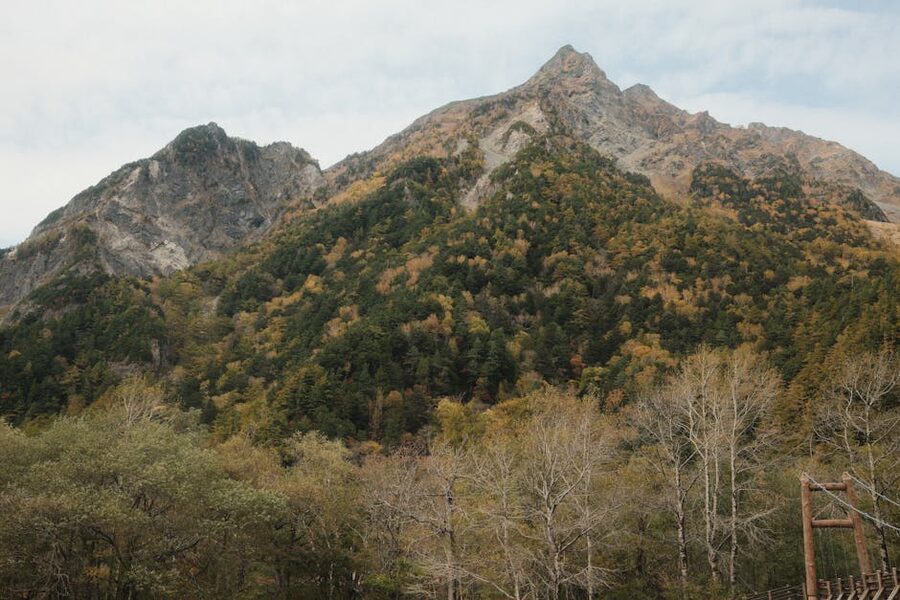
Four seasons, each with a case. The summer-versus-autumn argument is the one most people get wrong. Summer is busier, hotter, and has worse mountain weather. Autumn is colder, quieter, and has the best photographic conditions. If you have a choice, come in October.
Spring (late April to end of May)
The official opening date is 17 April, with the Kaisan-sai opening ceremony on 27 April. Snow is still on the peaks. Cold at night (single digits Celsius). Fewer visitors. The azuki-zakura cherries bloom along the Azusa in early May. Water is glass-clear because there’s minimal snowmelt runoff yet. Some hotels and shops are still closed in the first two weeks. Bring a down jacket and gloves for early-morning walks even if the daytime is t-shirt weather.
Summer (June to August)
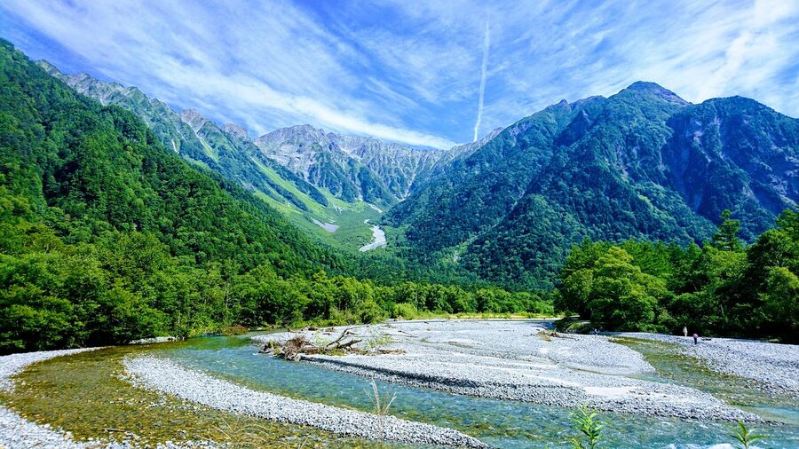
The busiest months. Weather warm (18 to 24 degrees Celsius daytime), all huts open, mountain flowers in full bloom from mid-June through July. Rainy season runs the first two weeks of July; bring a rain layer always. Obon week in mid-August (11 to 16 August) is the single busiest period of the year. Hotel prices jump 40%, the bus queues add an hour, and the Kappa-bashi crowds are genuinely uncomfortable. Avoid Obon if you possibly can.
Autumn (late September to early November)
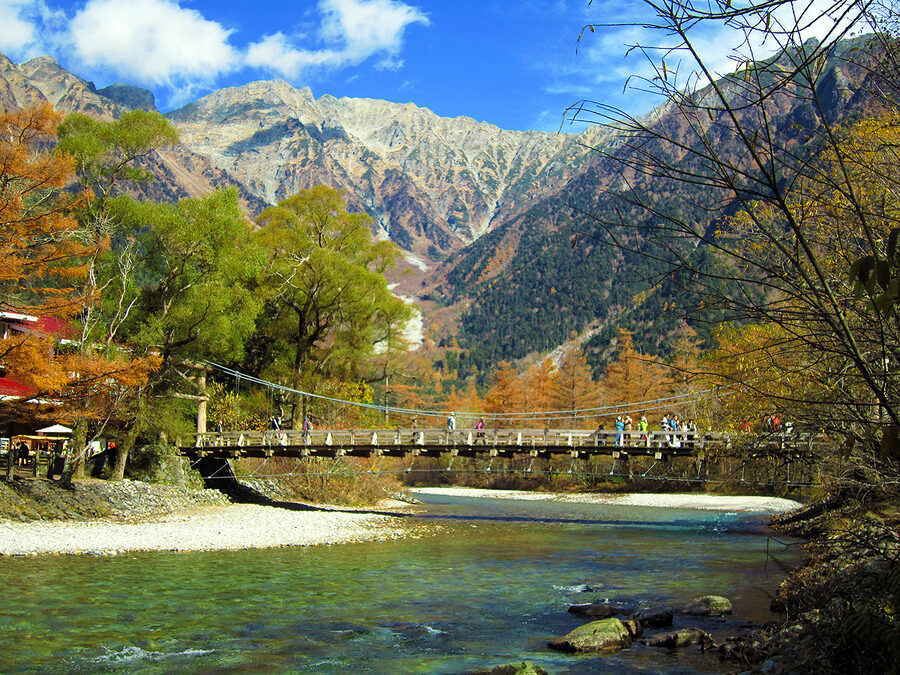
My personal favourite. The larch and birch turn gold around 20 October. Peaks already have snow. Air is crystal-clear. The weekend closest to 15 October is peak colour but fills with domestic tourists; the weekdays either side are ideal. Larch yellow holds into early November, often longer than the rest of the surrounding forest. The week before the 15 November closing date is genuinely quiet, frost on the boardwalks every morning, occasional first snow.
Winter (closed)
Closed, no access road, no accommodation, no rangers, no buses. A small snowshoe-guide industry runs walking tours from Sawando on the Matsumoto side into the lower valley. These are guided-only, day-trip only, and require winter mountain clothing. The Kappa-bashi area is reachable in about 4 hours of snowshoe walking each way. Worth doing if you’ve already been in summer and want to see the deep silence.
Temperature and clothing month by month
Daytime average highs run 14C in April, 17C in May, 19C in June, 23C in July and August, 18C in September, 13C in October, 9C in November. Nights are 5 to 9 degrees colder. The first week of November regularly drops below freezing overnight. Always bring a windbreaker and a fleece, even in midsummer; the temperature can fall 10 degrees in 30 minutes when a thunderstorm rolls in over the Hotaka range. From late September onward, add a down jacket for early mornings and any time after 4pm.
Practical bits to know before you go
- Cash only almost everywhere. Hotels take cards. Mountain huts, the bus-terminal canteen, the visitor centre cafe, and the smaller restaurants are cash-only. Bring ¥10,000 per day for a day trip, more if staying.
- No convenience stores. The shops at the bus terminal close at 5pm. The nearest 7-Eleven is a 1-minute walk from Shin-Shimashima station, 70 minutes back down the bus route.
- Bears. The Japanese black bear (Asiatic black bear) is active in the surrounding forests June to October. They’re shy and usually avoid the main trails, but encounters happen. The visitor centre sells bear bells (¥500) and posts the previous week’s sighting locations on a map by the door.
- Wild macaques. Less dangerous than bears and more confident around humans. Don’t approach. Don’t feed. Don’t make eye contact with the alpha males, which is read as aggression. They mostly ignore people and steal food only if it’s left unattended.
- Weather changes fast. The valley is at 1,500m and the surrounding peaks are 3,000m+. Summer thunderstorms arrive almost on schedule by 2pm. Bring a rain layer even when the morning is clear.
- Mobile signal. Docomo works at the bus terminal and around Kappa-bashi. Softbank and KDDI have patchy coverage. Up the trail beyond Tokusawa, signal disappears entirely. Download the offline map ahead of time.
- Luggage forwarding. Yamato Transport has a desk at the bus terminal. You can forward a bag from your Matsumoto or Takayama hotel to Kamikochi the day before, and forward it back out when you leave. Roughly ¥2,000 per bag, same-day if booked before 10am.
- Luggage storage. Day-only storage at the bus-terminal office, ¥350 to ¥600 per bag depending on size. Bags can be left overnight; the office is open 6am to 5pm.
- Toilets cost ¥100. All public toilets in Kamikochi charge a maintenance fee. Bring a stack of 100-yen coins. The money funds the eco-toilet system.
- Trash in, trash out. No bins on the trails. Carry everything out. Bring snacks with compact packaging.
Altitude: when to start worrying
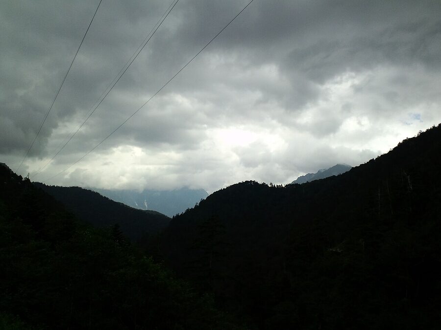
The valley floor at Kamikochi is 1,500m. High for Japan, but well below the altitude-sickness threshold. Almost nobody has issues on the valley walks. The mountain huts above are a different matter. Karasawa Hyutte sits at 2,305m. Yokoo Sanso at 1,620m. Yarigatake Sanso at 3,060m. If you’re heading to any of them, or onto the higher traverse routes (the Hotaka ridge, the Yari approach above Yarisawa), read the altitude sickness guide first. The Hotaka traverse from Kamikochi is where most of the Japan Alps AMS cases happen, almost always because hikers compress the recommended two-day acclimatisation into one.
Quick rule of thumb: if you slept at sea level the night before you arrived in Kamikochi, sleep one night in the valley before going above 2,500m. If you’ve been at altitude the previous week (Murodo on the Tateyama-Kurobe Alpine Route, for example, or Senjojiki at 2,612m), you can go straight up. If you start feeling sick at altitude, the rule is unambiguous: descend. The huts will not push you to stay if you’re symptomatic.
What to combine Kamikochi with
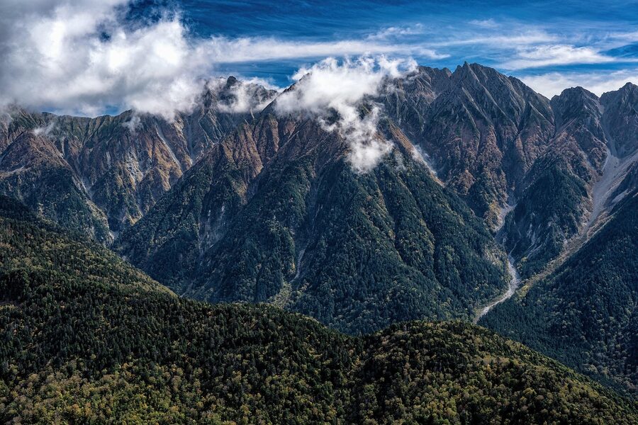
Kamikochi as a one-day add to a Matsumoto base is the standard Japan Alps visit. It works fine. There are more interesting versions, though. The combinations below are ranked by how well they actually flow geographically and how different the second destination is from Kamikochi itself.
- Kamikochi + Norikura Kogen. Two nights in Kamikochi, then bus out via Hirayu to Norikura for a third night. Same regional weather, completely different mountain (volcanic plateau vs glacial valley). Covered in detail in the 7-day itinerary.
- Kamikochi + Okuhida Onsen-go. Kamikochi by day, hot-spring ryokan in Hirayu or Shin-Hotaka by night. The 25-minute shuttle ride between the two is the practical link. Okuhida Onsen-go guide.
- Kamikochi + Shin-Hotaka Ropeway. Cross from Kamikochi to Shin-Hotaka by bus via Hirayu (90 minutes), ride the double-decker ropeway to 2,156m, come back. A long but doable single day if you start at 7am. The ropeway view of the Hotaka range from the western side is the mirror image of the Kamikochi view from below.
- Kamikochi + Hotaka traverse. Three days, hut-to-hut, the big Japan Alps classic. The Mt Hotaka guide has the route detail and the altitude sickness guide covers the medical bit.
- Kamikochi + Matsumoto Castle. Day 1, castle morning, train to Shin-Shimashima in the afternoon, bus to Kamikochi. Day 2, full day in the valley. Day 3, morning walk, bus back to Matsumoto. This is the long-weekend version that works without a car.
- Kamikochi + Takayama. Two nights in Kamikochi, bus out via Hirayu to Takayama for two more. The Takayama old town and the morning markets are the perfect cultural decompression after three days at altitude.
- Kamikochi + Kamikochi. Yes, again. Stay four nights instead of two. Walk a different route every day, do the Imperial Hotel for one night and the Lemeiesta for two, ride the first bus out at 5:55am to the Karasawa basin and back. The valley rewards repeated visits more than almost anywhere else in Japan.
The transport guide has the full connection details between Kamikochi and the rest of the seven-city region. The itineraries page shows how it fits into longer Japan Alps loops.
One last thing
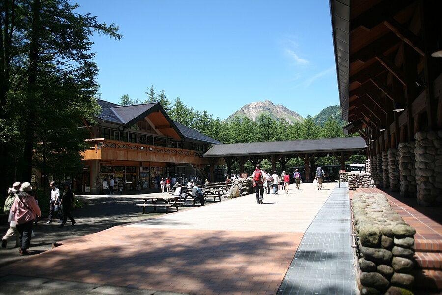
Around 5:15pm in October the last day-trip bus leaves the terminal and the queue clears in about twenty minutes. By 5:40pm the bus terminal is empty. If you walk back to Kappa-bashi at that point, you’ll have the same bridge that had two hundred people on it at lunchtime to yourself again. The light goes pink on the Hotaka range for about fifteen minutes. The herons come back. Then it’s properly dark, and you walk back to the hotel along the river path with a head torch and the smell of cold wet stone, and that’s why you stayed the night.

.jpg)


.jpg)

.jpg)
.jpg)
.jpg)


.jpg)


_24_Oct,_2011_-_panoramio.jpg)

